2024 / S253 D331
- Start: 🇮🇹 IT-SI Priolo Gargallo (presqu'île de Magnisi)
- Finish: 🇮🇹 IT-SI Marzamemi
- Date: Friday 24 January 2025
- Night: Studio Infinity of Stars (bookmerd)
- Departure and arrival times: 09h07 − 18h45
Sunrise and sunset: 07h08 − 17h17 / 10h09 of sun - Counter/pause time (total): 6h00 / 3h38 (9h38)
- Number of kilometers: 93,025 km
- Average speed (max): 15,4 km/h (38,7 km/h)
- Total number of kilometers: 13972,0 » 14065,0 km / 14753,0 km
- GPX file: download /
24/01/2025

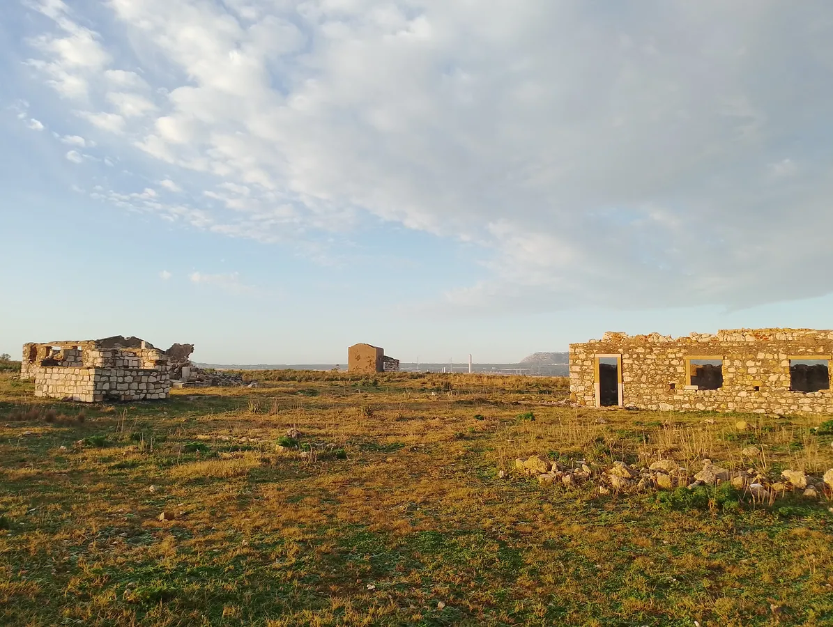
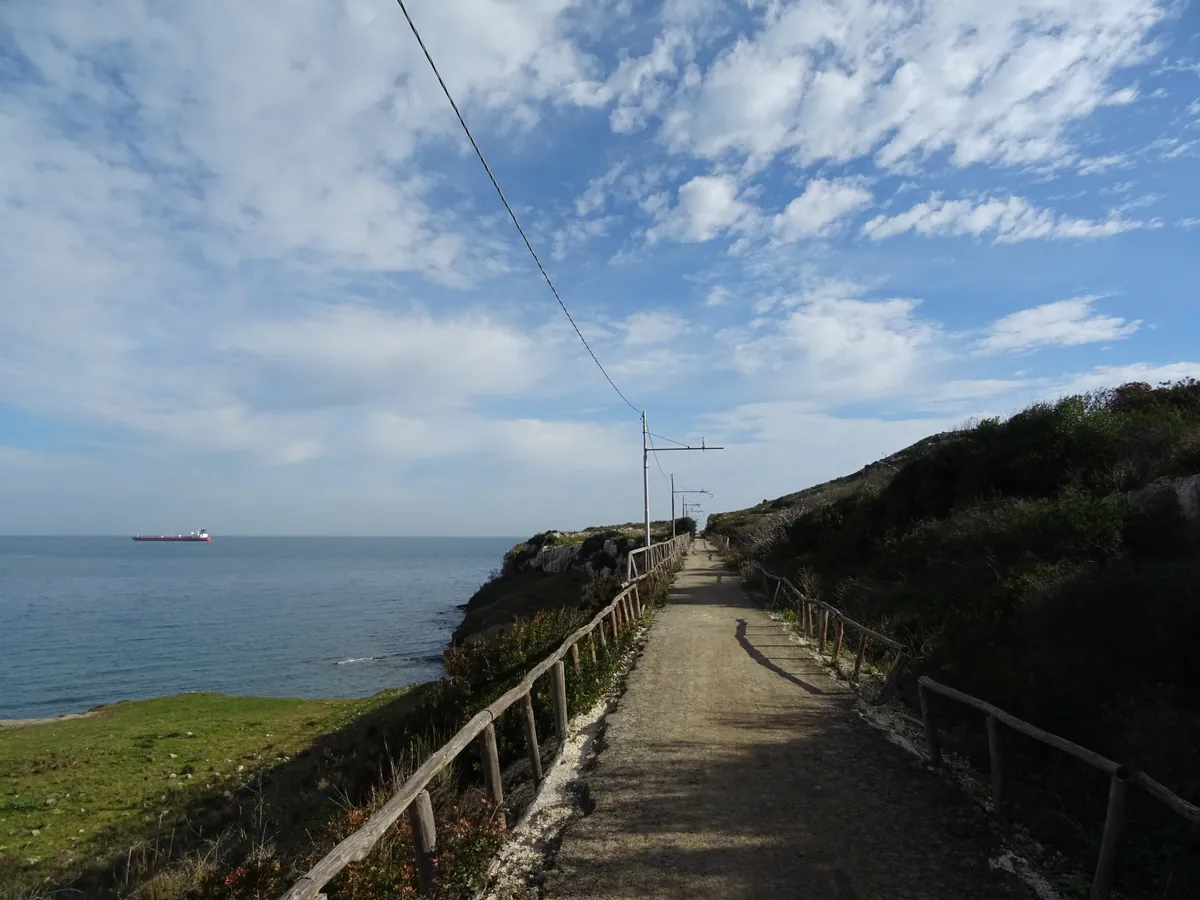
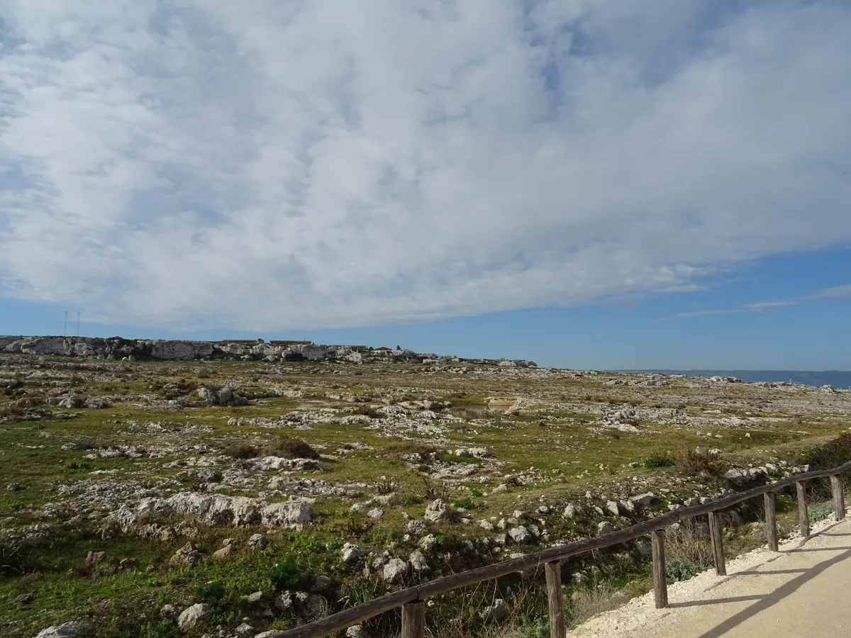
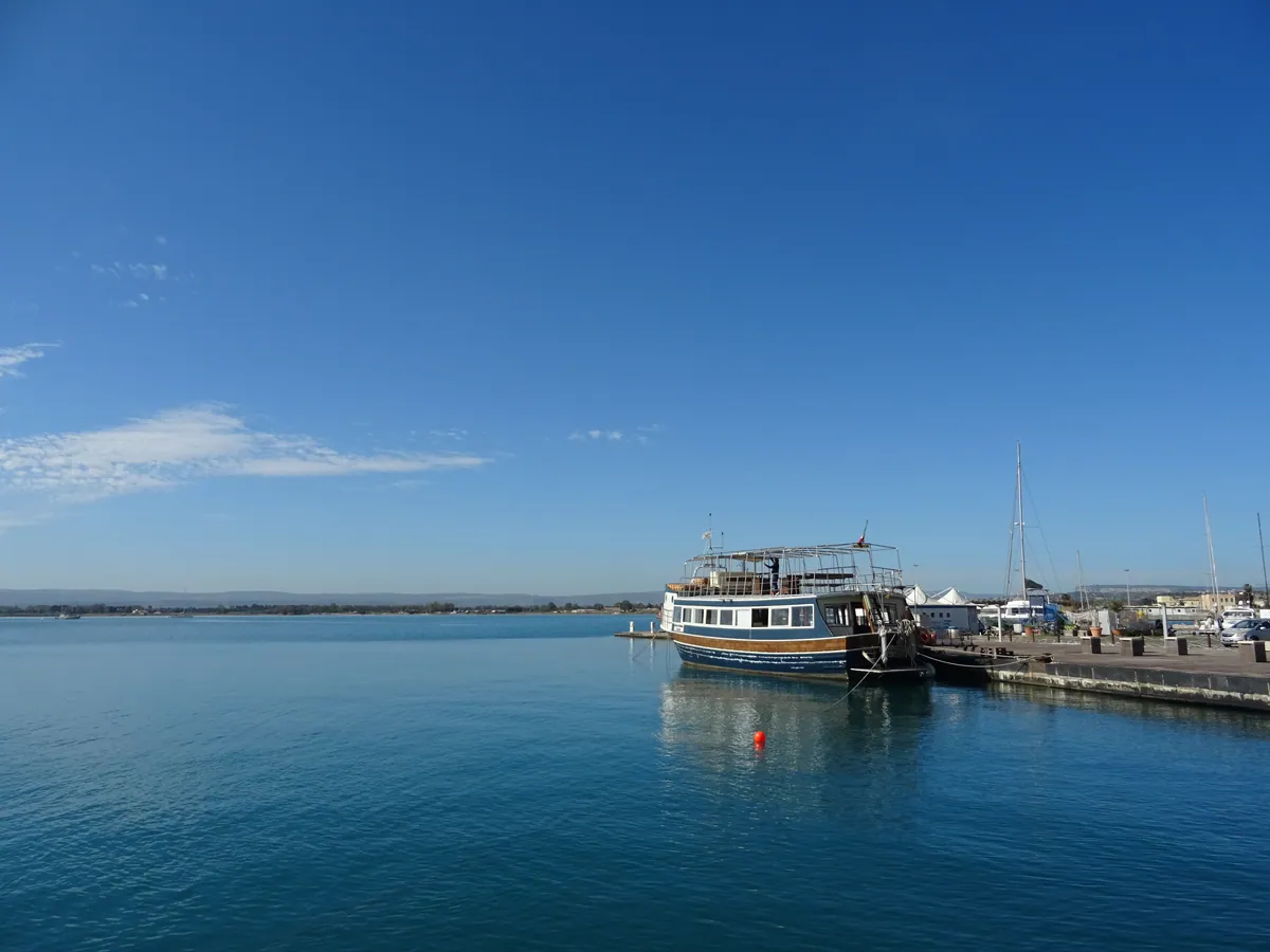
- IT-SI Priolo Gargallo
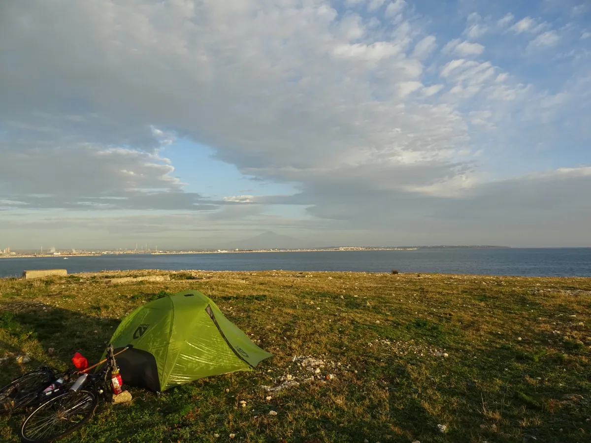
Bivouac tente- 618645.jpg / download
- date: 2025-01-24 07:38:28 +01:00
- latitude: 37.158010
- longitude: 15.231218
- altitude: ~ 11 m
- IT-SI Priolo Gargallo
- 618646.jpg / download
- date: 2025-01-24 07:39:00 +01:00
- latitude: 37.158010
- longitude: 15.231218
- altitude: ~ 11 m
- IT-SI Priolo Gargallo
- 618647.jpg / download
- date: 2025-01-24 09:11:10 +01:00
- latitude: 37.155951
- longitude: 15.229701
- altitude: ~ 12 m
- IT-SI Priolo Gargallo
- 618648.jpg / download
- date: 2025-01-24 09:22:58 +01:00
- latitude: 37.146673
- longitude: 15.221080
- altitude: ~ 2 m
- IT-SI Priolo Gargallo
- 618649.jpg / download
- date: 2025-01-24 09:31:39 +01:00
- latitude: 37.137313
- longitude: 15.219246
- altitude: ~ 2 m
- IT-SI Priolo Gargallo
- 618650.jpg / download
- date: 2025-01-24 09:36:04 +01:00
- latitude: 37.137283
- longitude: 15.219187
- altitude: ~ 2 m
- IT-SI Priolo Gargallo
- 618651.jpg / download
- date: 2025-01-24 09:38:36 +01:00
- latitude: 37.133908
- longitude: 15.219676
- altitude: ~ 0 m
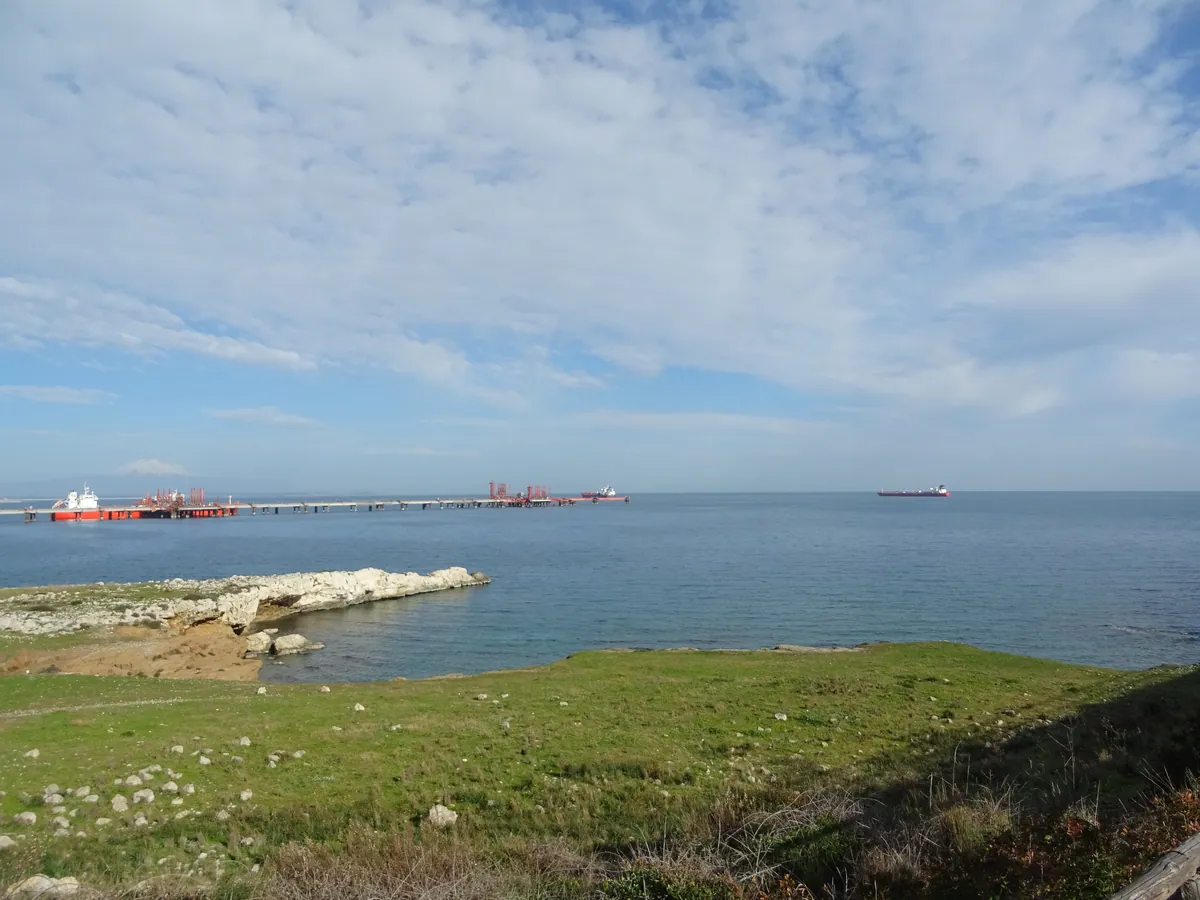
- IT-SI Siracusa
- 618652.jpg / download
- date: 2025-01-24 10:04:19 +01:00
- latitude: 37.104261
- longitude: 15.259994
- altitude: ~ 17 m
- IT-SI Siracusa
- 618653.jpg / download
- date: 2025-01-24 10:04:30 +01:00
- latitude: 37.104261
- longitude: 15.259994
- altitude: ~ 17 m
- IT-SI Siracusa
- 618654.jpg / download
- date: 2025-01-24 10:04:35 +01:00
- latitude: 37.104261
- longitude: 15.259994
- altitude: ~ 17 m
- IT-SI Siracusa
- 618655.jpg / download
- date: 2025-01-24 10:07:41 +01:00
- latitude: 37.104621
- longitude: 15.265288
- altitude: ~ 21 m
- IT-SI Siracusa
- 618656.jpg / download
- date: 2025-01-24 10:11:32 +01:00
- latitude: 37.104775
- longitude: 15.266168
- altitude: ~ 38 m
- IT-SI Siracusa
- 618657.jpg / download
- date: 2025-01-24 10:13:29 +01:00
- latitude: 37.105172
- longitude: 15.267413
- altitude: ~ 24 m
- IT-SI Siracusa
- 618658.jpg / download
- date: 2025-01-24 10:13:34 +01:00
- latitude: 37.105172
- longitude: 15.267413
- altitude: ~ 24 m
- IT-SI Siracusa
- 618659.jpg / download
- date: 2025-01-24 10:19:22 +01:00
- latitude: 37.105754
- longitude: 15.278082
- altitude: ~ 15 m
- IT-SI Siracusa
- 618660.jpg / download
- date: 2025-01-24 10:20:03 +01:00
- latitude: 37.105763
- longitude: 15.278270
- altitude: ~ 15 m
- IT-SI Siracusa
- 618661.jpg / download
- date: 2025-01-24 10:25:01 +01:00
- latitude: 37.108253
- longitude: 15.282760
- altitude: ~ 31 m
- IT-SI Siracusa
- 618662.jpg / download
- date: 2025-01-24 10:27:49 +01:00
- latitude: 37.108810
- longitude: 15.284565
- altitude: ~ 21 m
- IT-SI Siracusa
- 618663.jpg / download
- date: 2025-01-24 10:28:00 +01:00
- latitude: 37.108810
- longitude: 15.284565
- altitude: ~ 21 m
- IT-SI Siracusa
- 618664.jpg / download
- date: 2025-01-24 10:38:29 +01:00
- latitude: 37.106961
- longitude: 15.290308
- altitude: ~ 17 m
- IT-SI Siracusa
- 618665.jpg / download
- date: 2025-01-24 10:38:36 +01:00
- latitude: 37.106961
- longitude: 15.290308
- altitude: ~ 17 m
- IT-SI Siracusa
- 618666.jpg / download
- date: 2025-01-24 10:42:54 +01:00
- latitude: 37.101351
- longitude: 15.296448
- altitude: ~ 16 m
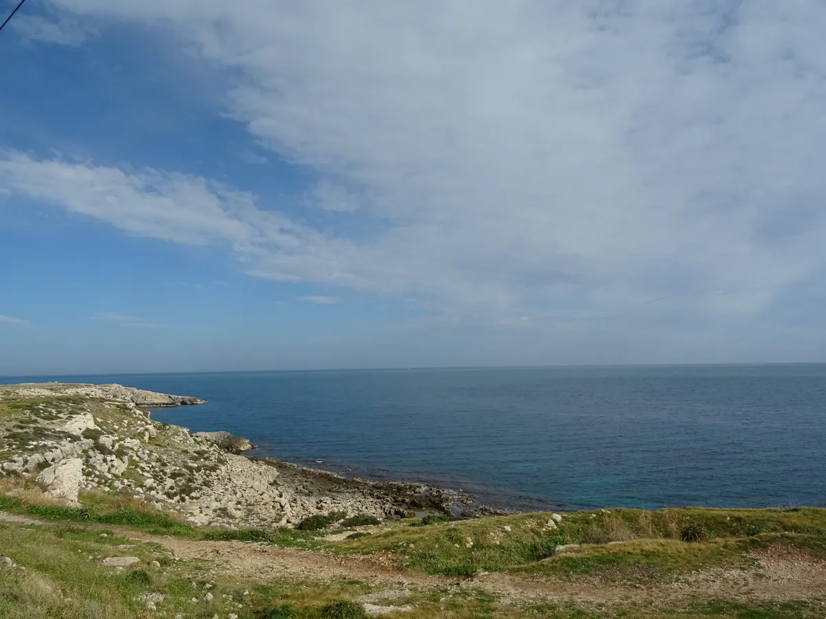
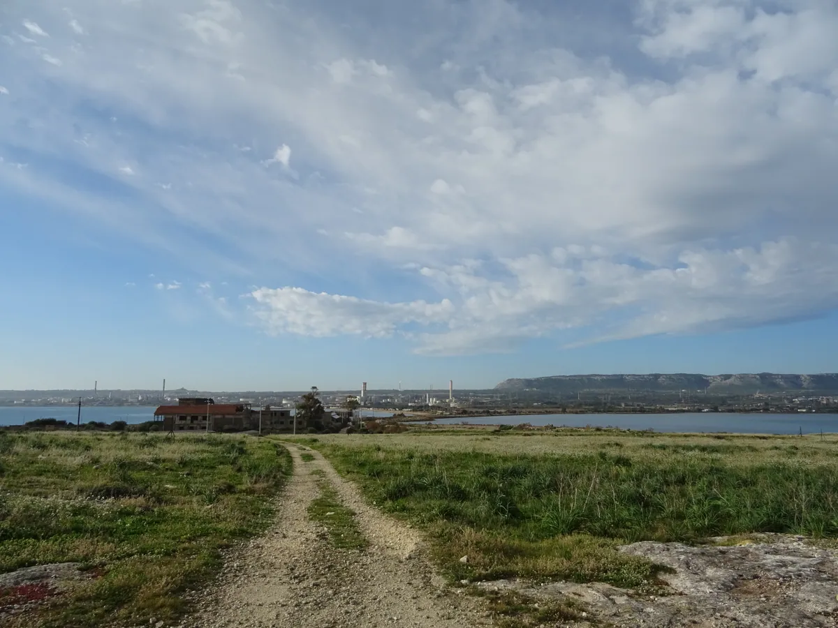
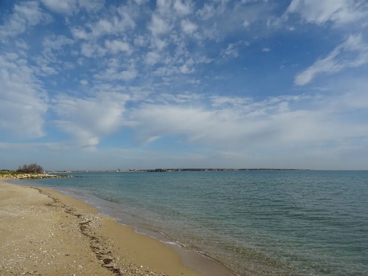
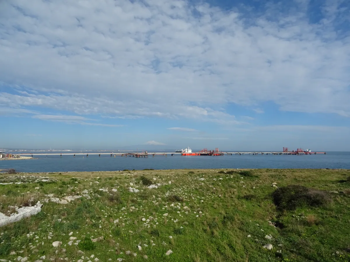
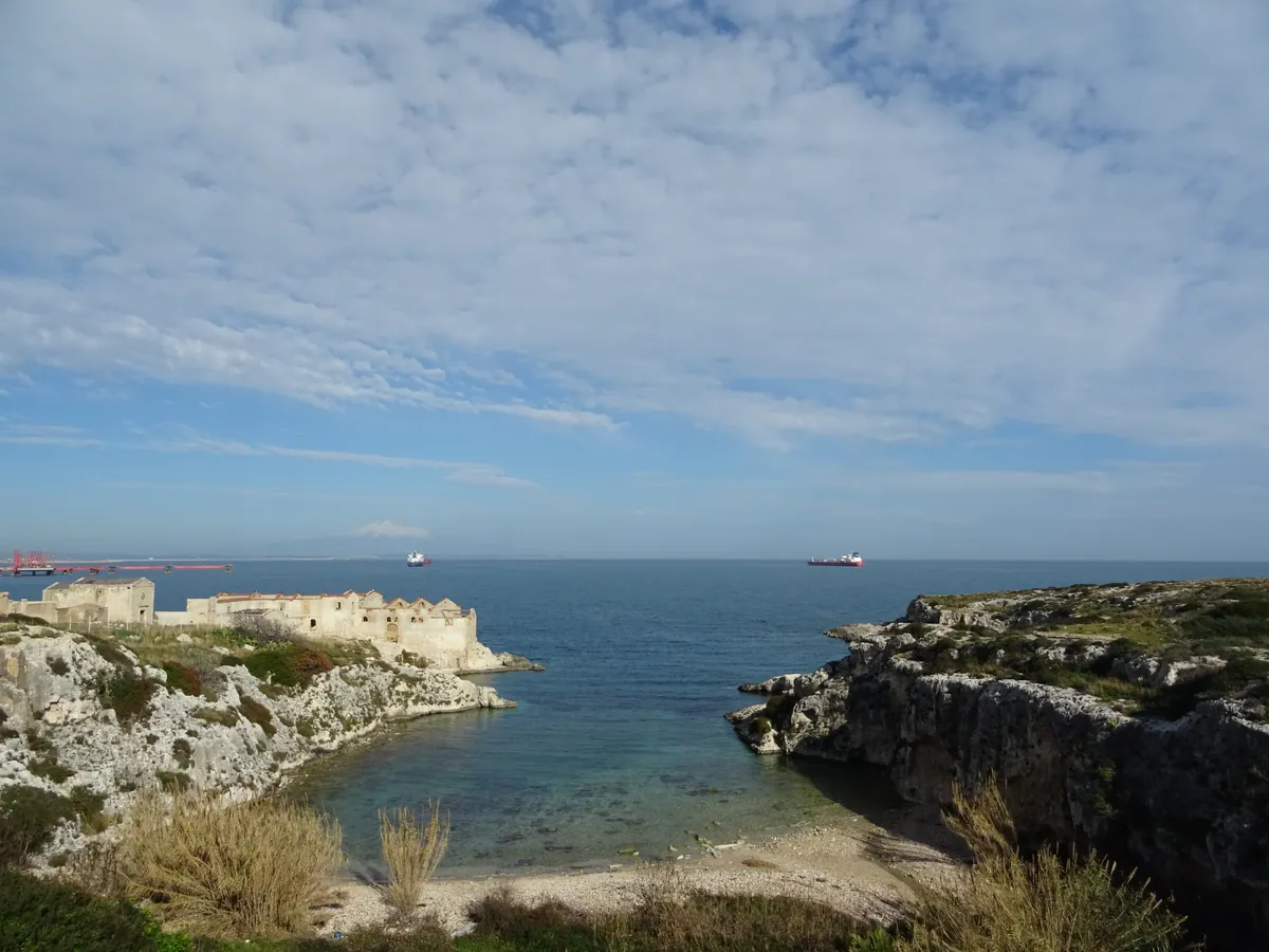
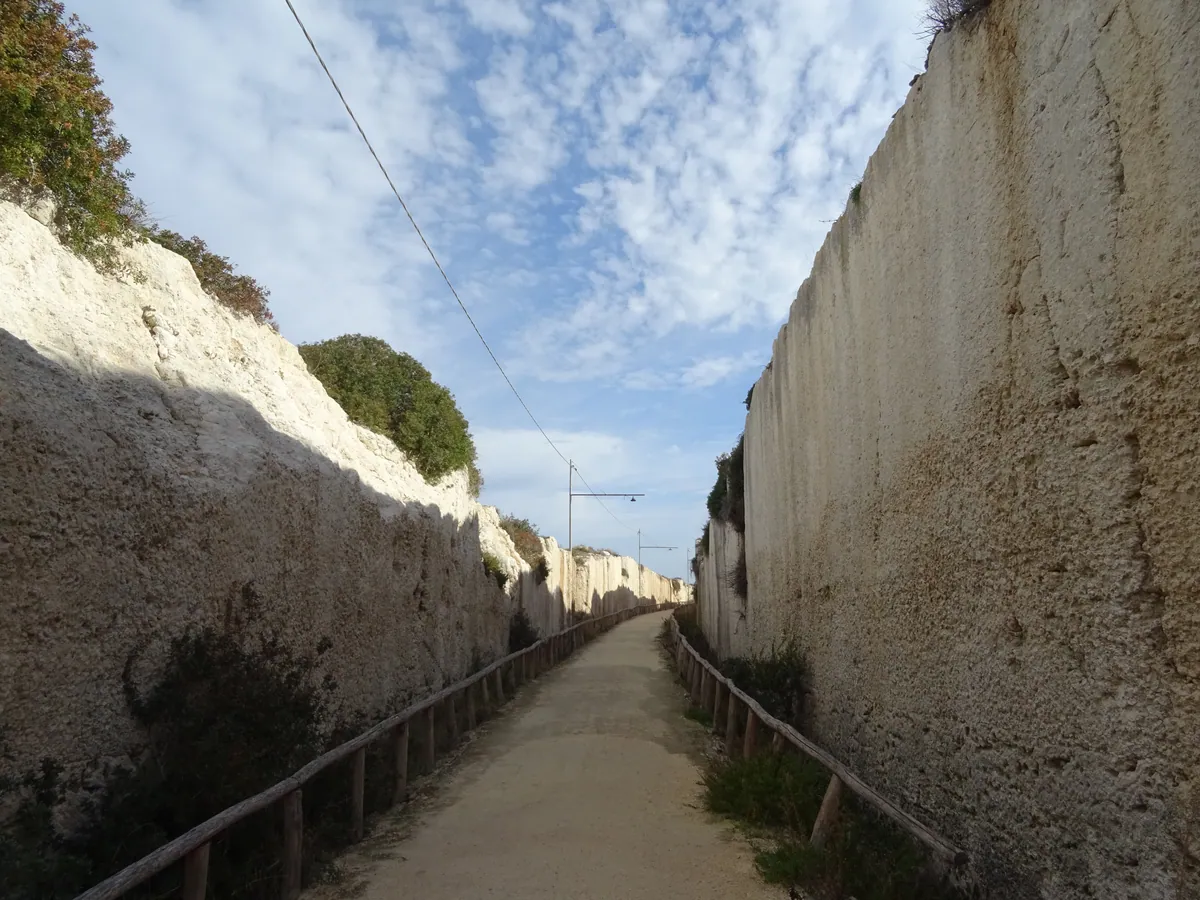
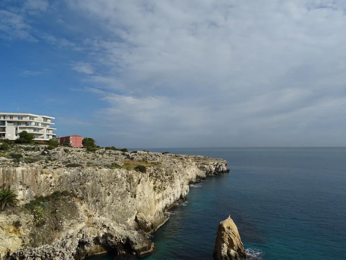
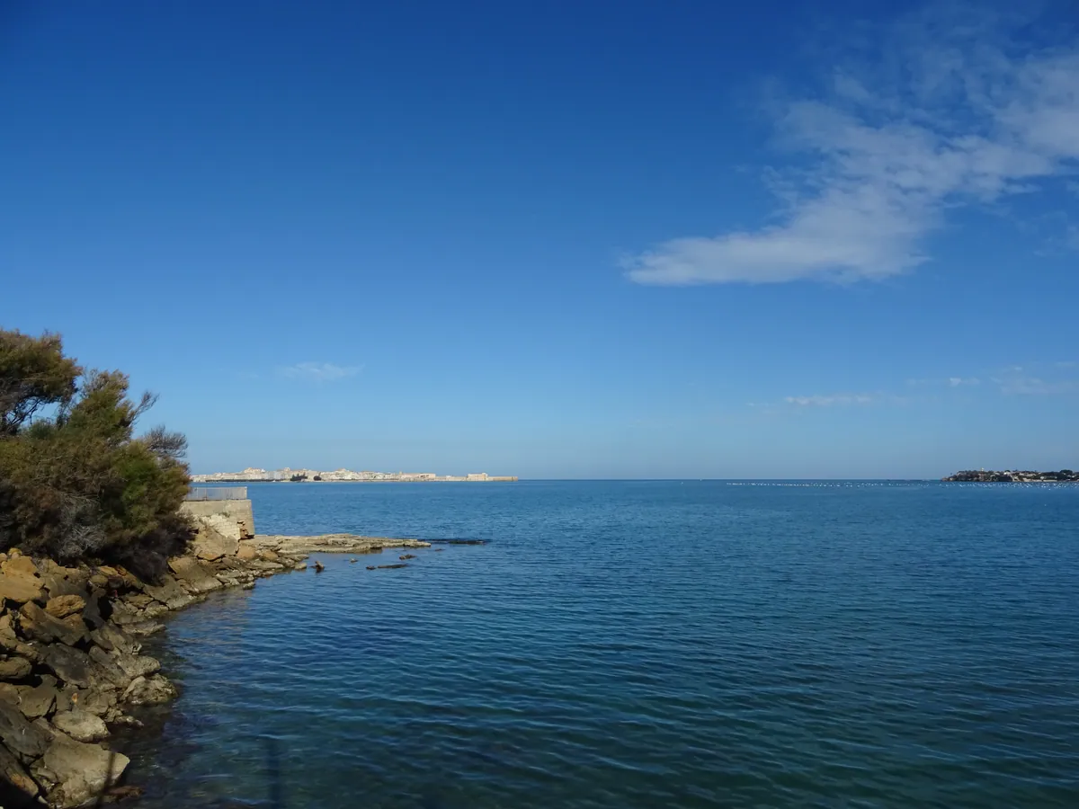
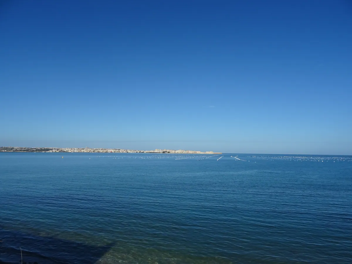
- IT-SI Siracusa
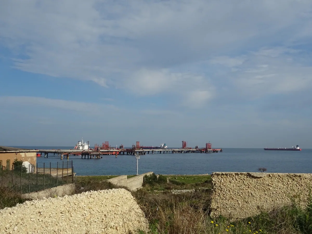
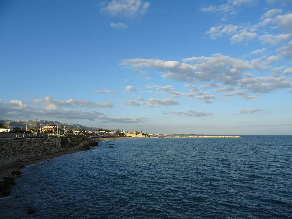
l'Italie dans toute sa splendeur- 618667.jpg / download
- date: 2025-01-24 10:45:46 +01:00
- latitude: 37.096641
- longitude: 15.297834
- altitude: ~ 18 m
- IT-SI Siracusa
- 618668.jpg / download
- date: 2025-01-24 11:11:20 +01:00
- latitude: 37.087333
- longitude: 15.299060
- altitude: ~ 18 m
- IT-SI Siracusa
- 618669.jpg / download
- date: 2025-01-24 11:21:12 +01:00
- latitude: 37.078206
- longitude: 15.296735
- altitude: ~ 18 m
- IT-SI Siracusa
- 618670.jpg / download
- date: 2025-01-24 11:28:52 +01:00
- latitude: 37.069205
- longitude: 15.289187
- altitude: ~ 5 m
- IT-SI Siracusa
- 618671.jpg / download
- date: 2025-01-24 11:34:38 +01:00
- latitude: 37.066594
- longitude: 15.288779
- altitude: ~ 2 m
- IT-SI Siracusa
- 618672.jpg / download
- date: 2025-01-24 11:38:36 +01:00
- latitude: 37.064278
- longitude: 15.290292
- altitude: ~ 5 m
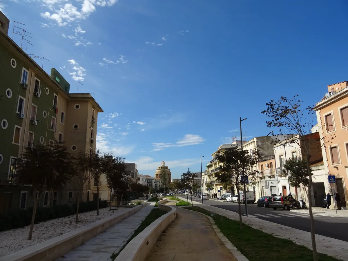
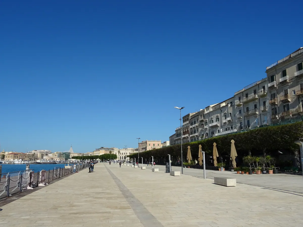
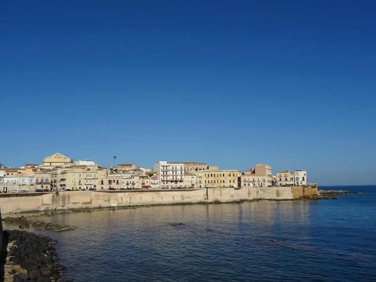
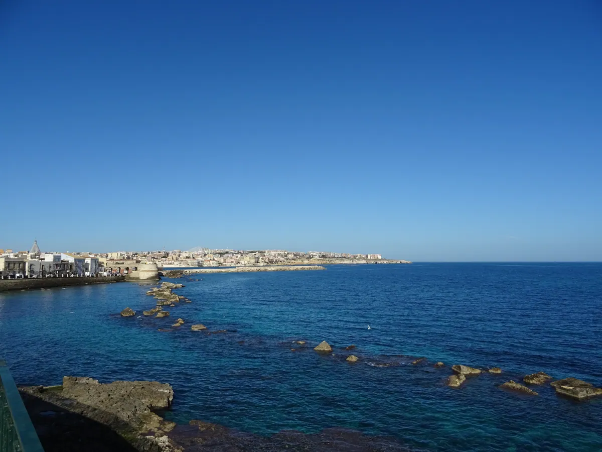
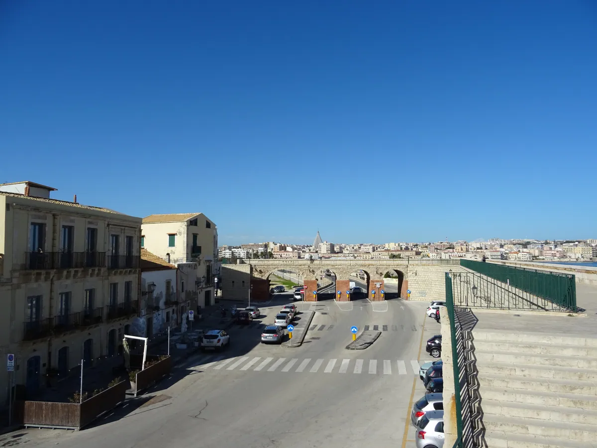
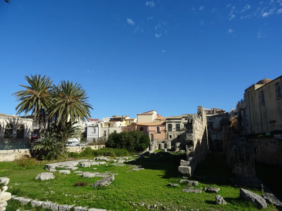
- IT-SI Siracusa (île Ortigia)
Pause midi- 618673.jpg / download
- date: 2025-01-24 11:44:14 +01:00
- latitude: 37.061342
- longitude: 15.291215
- altitude: ~ 4 m
- IT-SI Siracusa (île Ortigia)
- 618674.jpg / download
- date: 2025-01-24 11:46:38 +01:00
- latitude: 37.058859
- longitude: 15.292110
- altitude: ~ 7 m
- IT-SI Siracusa (île Ortigia)
- 618675.jpg / download
- date: 2025-01-24 11:48:17 +01:00
- latitude: 37.057883
- longitude: 15.292175
- altitude: ~ 1 m
- IT-SI Siracusa (île Ortigia)
- 618676.jpg / download
- date: 2025-01-24 11:57:24 +01:00
- latitude: 37.054488
- longitude: 15.295705
- altitude: ~ 5 m
- IT-SI Siracusa (île Ortigia)
- 618677.jpg / download
- date: 2025-01-24 11:58:53 +01:00
- latitude: 37.055575
- longitude: 15.295511
- altitude: ~ 5 m
- IT-SI Siracusa (île Ortigia)
- 618678.jpg / download
- date: 2025-01-24 12:05:33 +01:00
- latitude: 37.061774
- longitude: 15.297824
- altitude: ~ 5 m
- IT-SI Siracusa (île Ortigia)
- 618679.jpg / download
- date: 2025-01-24 12:08:31 +01:00
- latitude: 37.064158
- longitude: 15.296482
- altitude: ~ 14 m
- IT-SI Siracusa (île Ortigia)
- 618680.jpg / download
- date: 2025-01-24 12:12:41 +01:00
- latitude: 37.066534
- longitude: 15.296794
- altitude: ~ 2 m
- IT-SI Siracusa (île Ortigia)
- 618681.jpg / download
- date: 2025-01-24 12:12:45 +01:00
- latitude: 37.066534
- longitude: 15.296794
- altitude: ~ 2 m
- IT-SI Siracusa (île Ortigia)
- 618682.jpg / download
- date: 2025-01-24 13:24:24 +01:00
- latitude: 37.06361
- longitude: 15.29265
- altitude: ~ 16 m
- IT-SI Siracusa (île Ortigia)
- 618683.jpg / download
- date: 2025-01-24 13:38:55 +01:00
- latitude: 37.064916
- longitude: 15.290973
- altitude: ~ 3 m
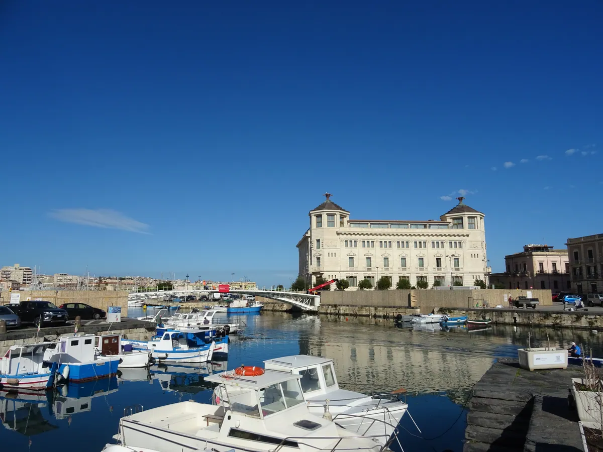
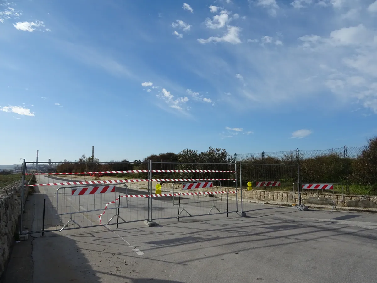
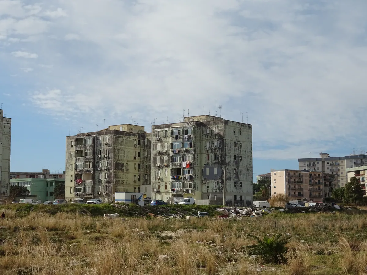
- IT-SI Carrozzieri
- 618684.jpg / download
- date: 2025-01-24 14:15:44 +01:00
- latitude: 37.039703
- longitude: 15.275438
- altitude: ~ 1 m
- IT-SI Carrozzieri
- 618685.jpg / download
- date: 2025-01-24 14:19:32 +01:00
- latitude: 37.034586
- longitude: 15.279429
- altitude: ~ 3 m
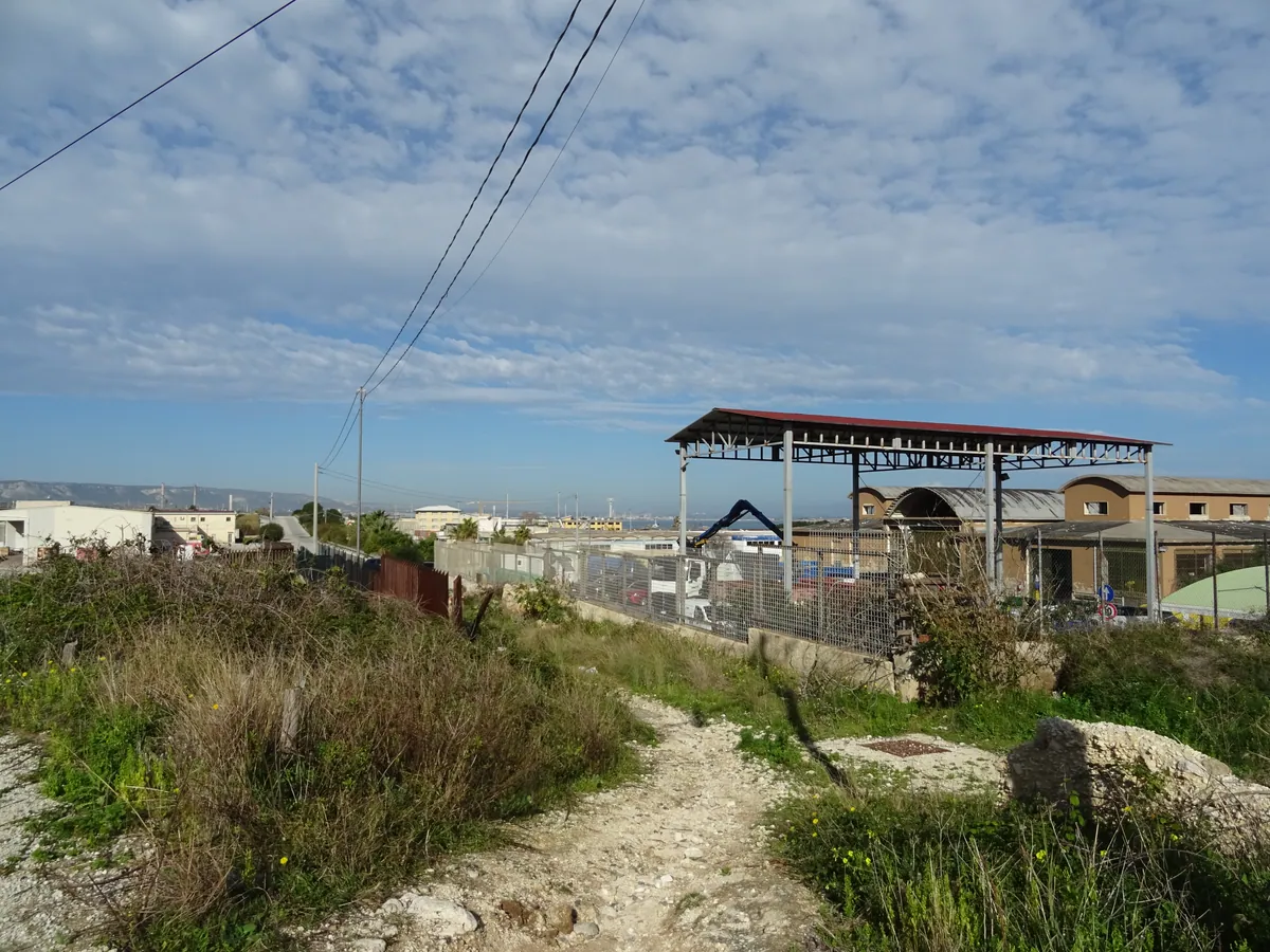
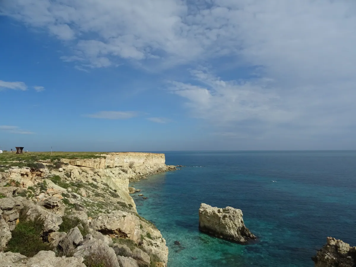
- IT-SI Isola
- 618686.jpg / download
- date: 2025-01-24 14:34:58 +01:00
- latitude: 37.035387
- longitude: 15.301734
- altitude: ~ 23 m
- IT-SI Isola
- 618687.jpg / download
- date: 2025-01-24 14:56:59 +01:00
- latitude: 37.020496
- longitude: 15.304621
- altitude: ~ 58 m
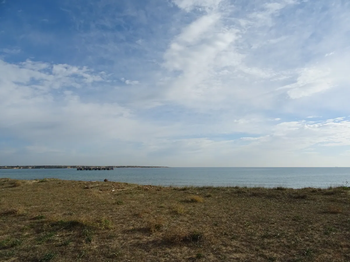
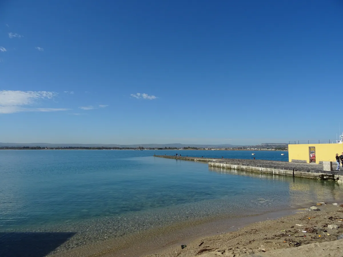
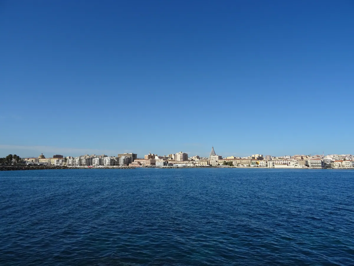
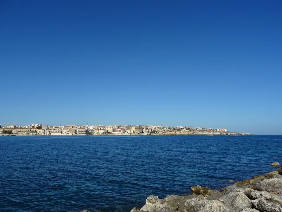
- IT-SI Avola
- 618688.jpg / download
- date: 2025-01-24 16:09:11 +01:00
- latitude: 36.917288
- longitude: 15.155390
- altitude: ~ 4 m
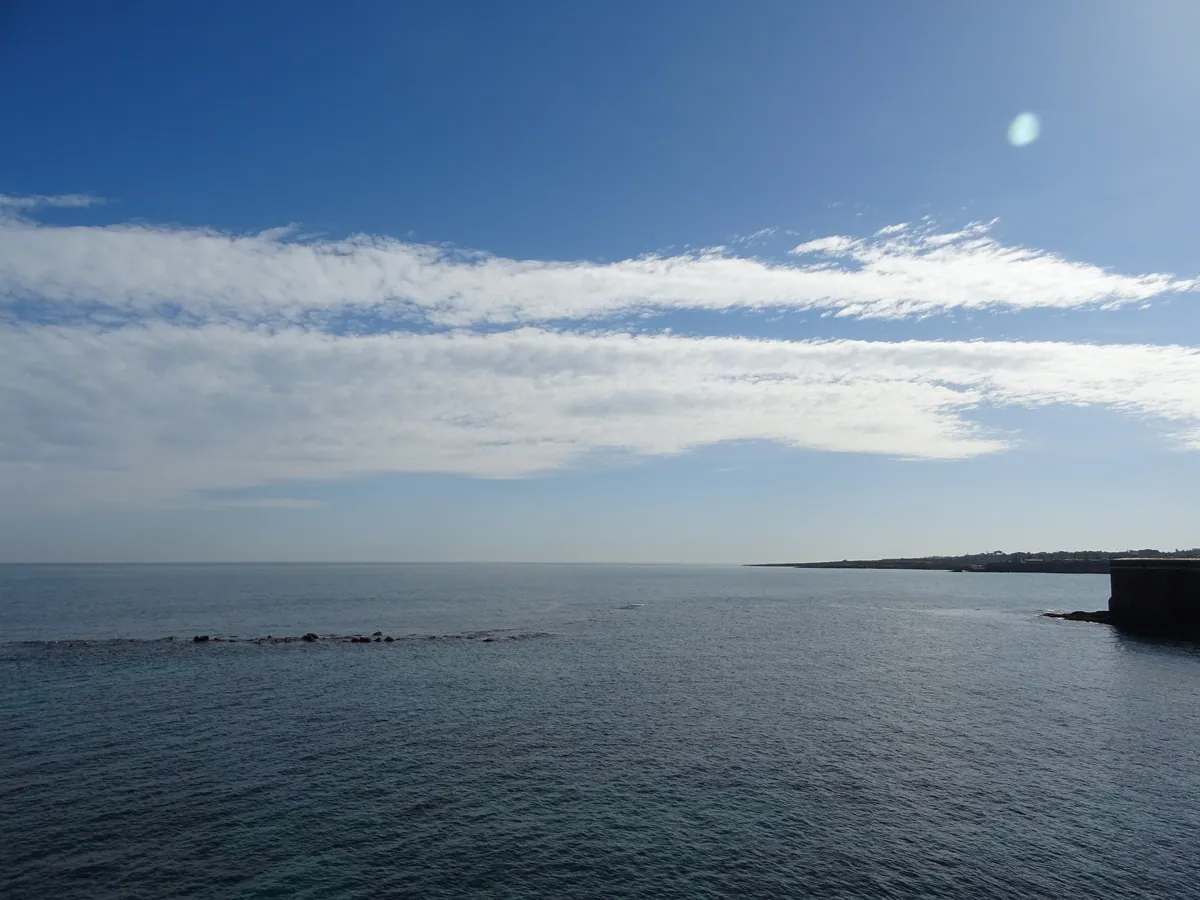
- IT-SI Avola
- 618689.jpg / download
- date: 2025-01-24 16:19:54 +01:00
- latitude: 36.895061
- longitude: 15.143418
- altitude: ~ 8 m
Toutes les heures sont en heure locale, et malheureusement soit en heure d'été, soit en heure d'hiver. Pour tous les voyages : utc+1 en hiver et utc+2 en été, sauf Finlande/Estonie/Lettonie/Lituanie utc+2/+3.
Blog de voyages à vélo
Les photos et vidéos et podcasts sont sous licence Creative Commons BY-NC-SA 3 (Attribution - Pas d'utilisation commerciale - Partage dans les mêmes conditions).
Exceptions (extrait musical/audio) :
- 2023.7.m4a, © Aden Foyer The Ballet Girl
- 2023.16.m4a, © Voyager Promise, © WarnerBros Matrix 4
- 608562.jpg, © Foto-Webcam.eu
Index des photos : TSV.
Historique des voyages à vélo
- la suite ?
- 2024-2025 / 352 jours ~ 12 mois (14580 € soit 36/j) / bivouac tente
(16 pays, 2 îles)- VTC 28″ VSF T-500, 11-36, pneu marathon plus tour, usb-werk
- TEL Wiko Power U10° et realme C53° (GPS OsmAnd, cartes OSM/OTM)
- APN Sony DSC-HX60V°
- CAM GoPro Hero 10° avec module média
- Drone DJI Mini 3 pro°
- 2023 / 90 jours, 3 mois (8103 € soit 90/j)
🇫🇷 FR 🇨🇭 CH 🇦🇹 AT 🇨🇭 CH 🇮🇹 IT 🇫🇷 FR (4 pays)- VTC 28″ VSF T-500, 11-36, pneu marathon plus tour, usb-werk
- TEL Wiko Power U10° (GPS OsmAnd, cartes OSM/OTM)
- APN Sony DSC-HX60V°
- CAM GoPro Hero 10° avec module média
- Drone DJI Mini 3 pro°
- 2019 / 🇫🇷 FR / 25 jours (2753 € soit 110/j)
- VTT 27,5″ Rockrider 520, 13-32, roue avant XM-319 DH-3D32, usb-werk
- GPS TwoNav Anima (cartes IGN TOP25)
- APN Sony DSC-HX60V°
- 2018 / 🇫🇷 FR / 17 jours (1435 € soit 84/j)
- VTT 26″ Rockrider 5.1 C1 2011, 13-34
- GPS TwoNav Anima (cartes IGN TOP25)
- APN Sony DSC-HX60V°
- 2017 / 🇫🇷 FR / 17 jours (1480 € soit 87/j)
- VTT 26″ Rockrider 5.1 C1 2011, 13-34
- GPS TwoNav Anima (cartes IGN TOP25)
- APN Sony DSC-HX60V°
- 2014 / 🇫🇷 FR / 10 jours (1018 € soit 101/j)
- VTT 26″ Rockrider 5.1 C1 2011, 13-34
- GPS TwoNav Sportiva 2 (cartes IGN TOP25)
- APN Canon PowerShot SX280HS°
- 2013 / 🇫🇷 FR / 15 jours
- VTT 26″ Rockrider 5.1 C1 2011
- GPS TwoNav Sportiva 2 (cartes IGN TOP25)
- APN Canon IXUS 220HS
- 2012 / 🇫🇷 FR / 12 jours / camping tente
- VTT 26″ Rockrider 5.1 C1 2011
- GPS IGN Évadéo M35 (cartes IGN TOP25)
- APN Canon IXUS 220HS
- 2009 / 🇫🇷 FR / 16 jours / camping tente
- VTT 26″
- GPS IGN Évadéo M35 (cartes IGN TOP25)
- APN Canon PowerShot A430
Rendez-vous aussi sur
- VisuGPX / EditGPX (éditeur d'itinéraire un peu bancale)
- SchweizMobil (carte interactive avec itinéraires et photos)
- Foto-Webcam (webcams avec historique - AT-Schröcken 13/08/23)
- Trustroots (hébergement entre voyageurs)
- Nomador (home-sitters... miaou)
- uBlock (pour votre santé)
- trop d'argent ? pas de soucis je m'en occupe
Des histoires d'autres voyageurs
- Perdons les pédales
- La Bliv America
- Voies Recyclables
- ZedZed Bizarre Adventure
- Charles en vélo
- Un petit tour à vélo
- Nartrouv Travel
- flo_madem
- Les Cyclotrotters
- À Vélo A. A. A.
- À coups de pédales
- What The Trip
- Les Colibris nomades
- Cycle Americas
- La Pampa (audio)
- From Cape to Cairo by Bike (film)
- Génération Tour du Monde (film)
- Vanlife les nouveaux nomades (film)
- Ameri-Bike Dream (film)
- Un Tour d'Europe en 11 mois (film)
- Cycling Across Europe Alone (film)
- Lampaul/CapNord à vélo (film)
- Jencyo Rêva
Quelques informations pas très intéressantes
Les communes des photos ont été récupérées avec Google Geocoding puis Nomitim Reverse et les altitudes avec elevation-api.eu (mais par moment c'est très approximatif), le tout à partir de leurs coordonnées GPS. Les tuiles (tiles) des itinéraires ont été générées avec gpx2tiles. Page web réalisée avec tout mon talent en France, mais aussi grâce à Leaflet, Leaflet.RightClickZoom, Leaflet.Fullscreen et Leaflet.GPX.
Les coordonnées des photos de 2009, 2012 et 2013 ont été ajoutées manuellement. Une * indique un positionnement (très) approximatif. Les itinéraires de 2009 et 2012 ont été retracés quelques années après.
Itinéraires préparés avec VisuGPX et SuisseMobile.
Attention, quand EDF passe, le paysage trépasse !
Et Android ? Même Windows XP était mieux !
Loués soient les Oris !
Nous sommes sponsorisés par la région.