2024 / E205 J264
- Départ : 🇮🇹 IT Muzzana del Turgnano (Turunduze)
- Arrivée : 🇮🇹 IT Sindacale
- Date : lundi 18 novembre 2024
- Nuit : Bivouac forêt
- Heure de départ et d'arrivée : 09h32 − 16h12
Lever et coucher du soleil : 07h10 − 16h34 / 9h24 de soleil - Temps au compteur / de pause (total) : 4h07 / 2h33 (6h40)
- Nombre de kilomètres : 62,040 km
- Vitesse moyenne (max) : 15,0 km/h (30,5 km/h)
- Nombre total de kilomètres : 11576,0 » 11638,0 km / 14753,0 km
- Fichier GPX : télécharger /
18/11/2024

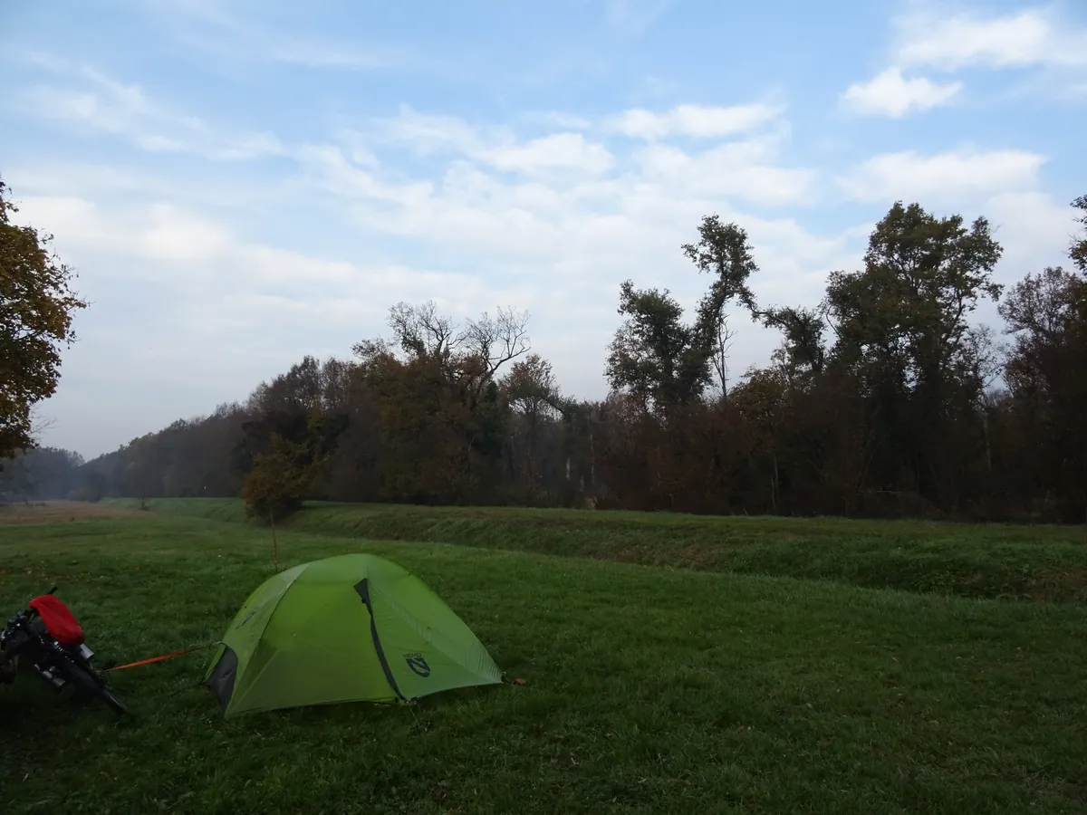
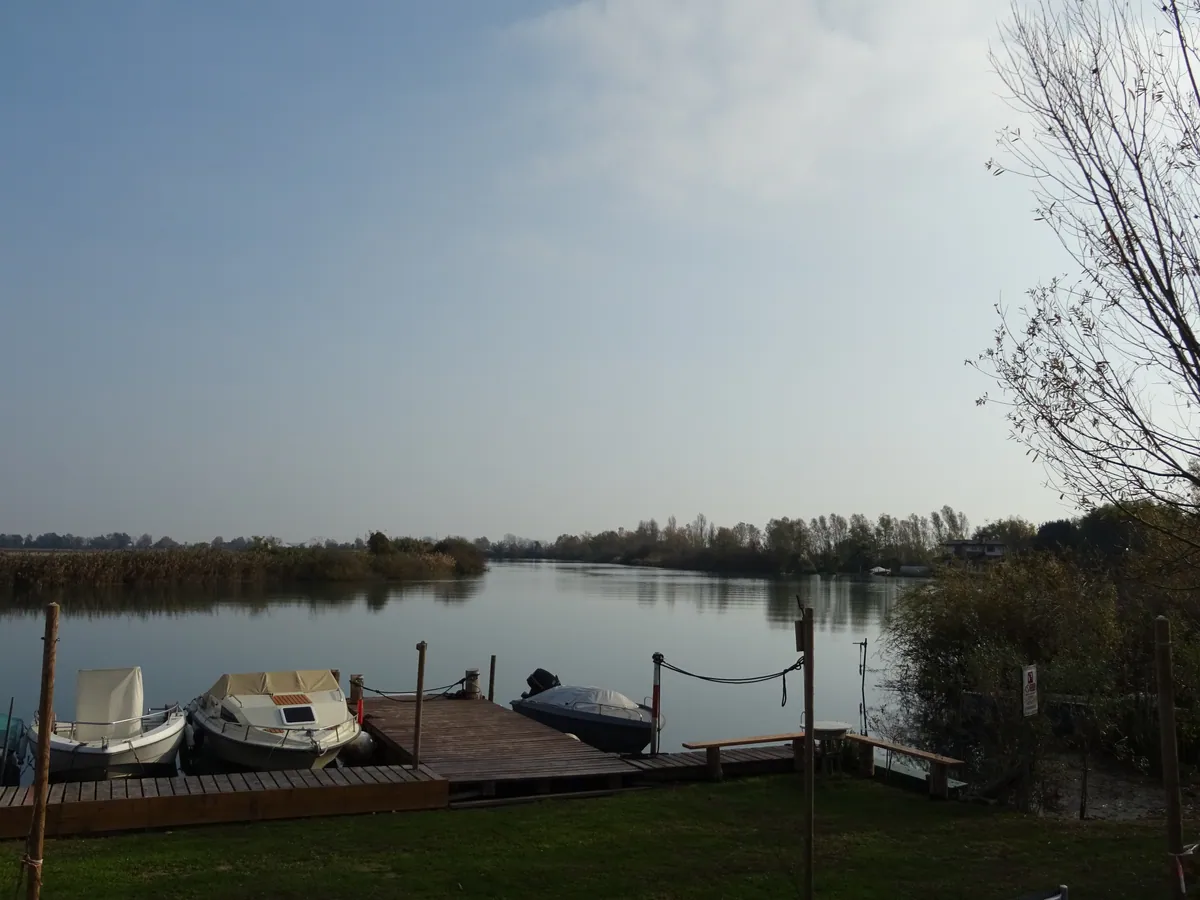
- IT Muzzana del Turgnano
Bivouac tente- 616690.jpg / télécharger
- date : 2024-11-18 08:19:32 +01:00
- latitude : 45.786473
- longitude : 13.128882
- altitude : ~ 2 m
- IT Muzzana del Turgnano
- 616691.jpg / télécharger
- date : 2024-11-18 09:34:14 +01:00
- latitude : 45.786563
- longitude : 13.126752
- altitude : ~ 2 m
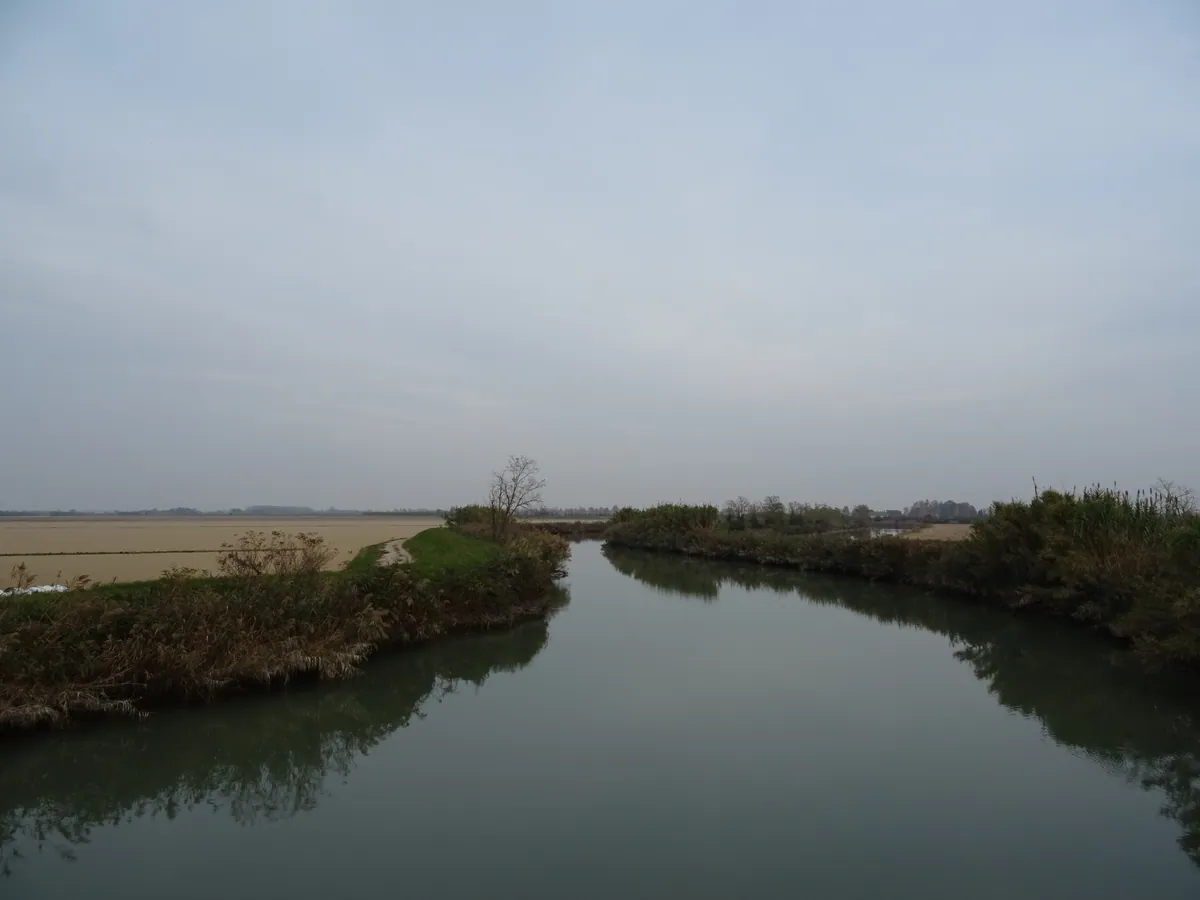
- IT Muzzana del Turgnano
- 616692.jpg / télécharger
- date : 2024-11-18 09:42:58 +01:00
- latitude : 45.785617
- longitude : 13.107414
- altitude : ~ 2 m
- IT Muzzana del Turgnano
- 616693.jpg / télécharger
- date : 2024-11-18 09:44:14 +01:00
- latitude : 45.785519
- longitude : 13.105525
- altitude : ~ 1 m
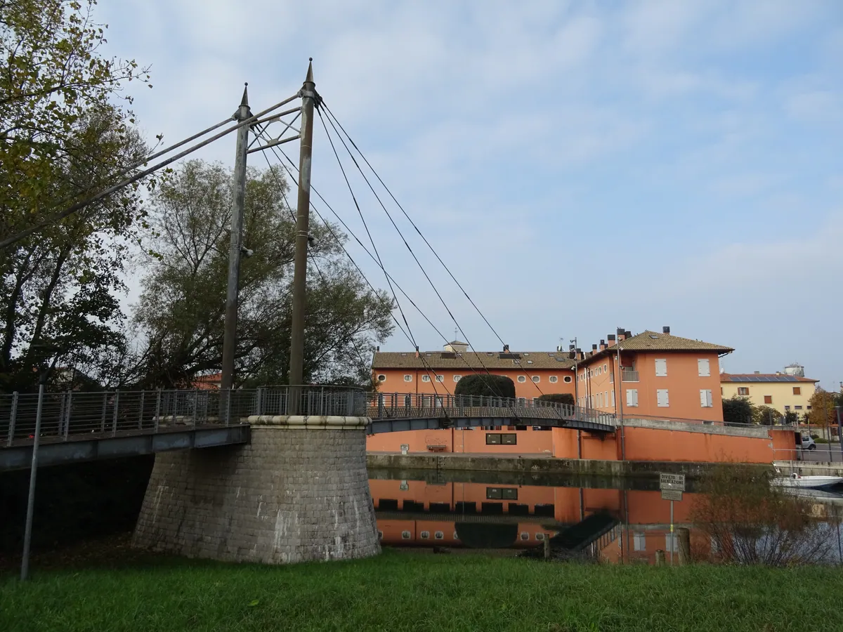
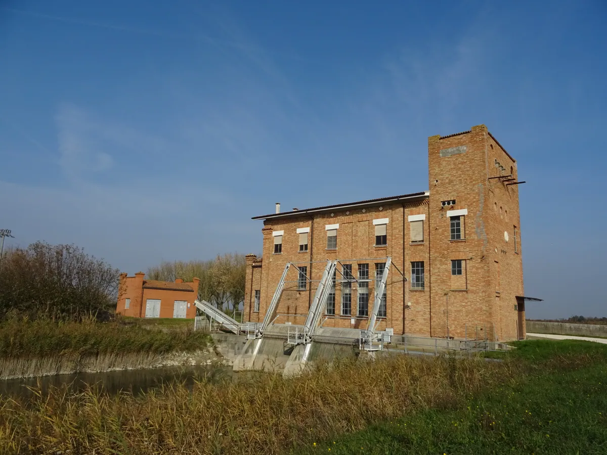
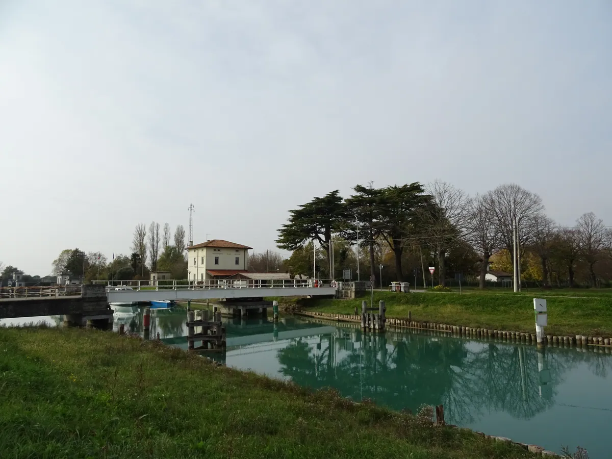
- IT Precenicco
- 616694.jpg / télécharger
- date : 2024-11-18 09:56:33 +01:00
- latitude : 45.789275
- longitude : 13.079932
- altitude : ~ 1 m
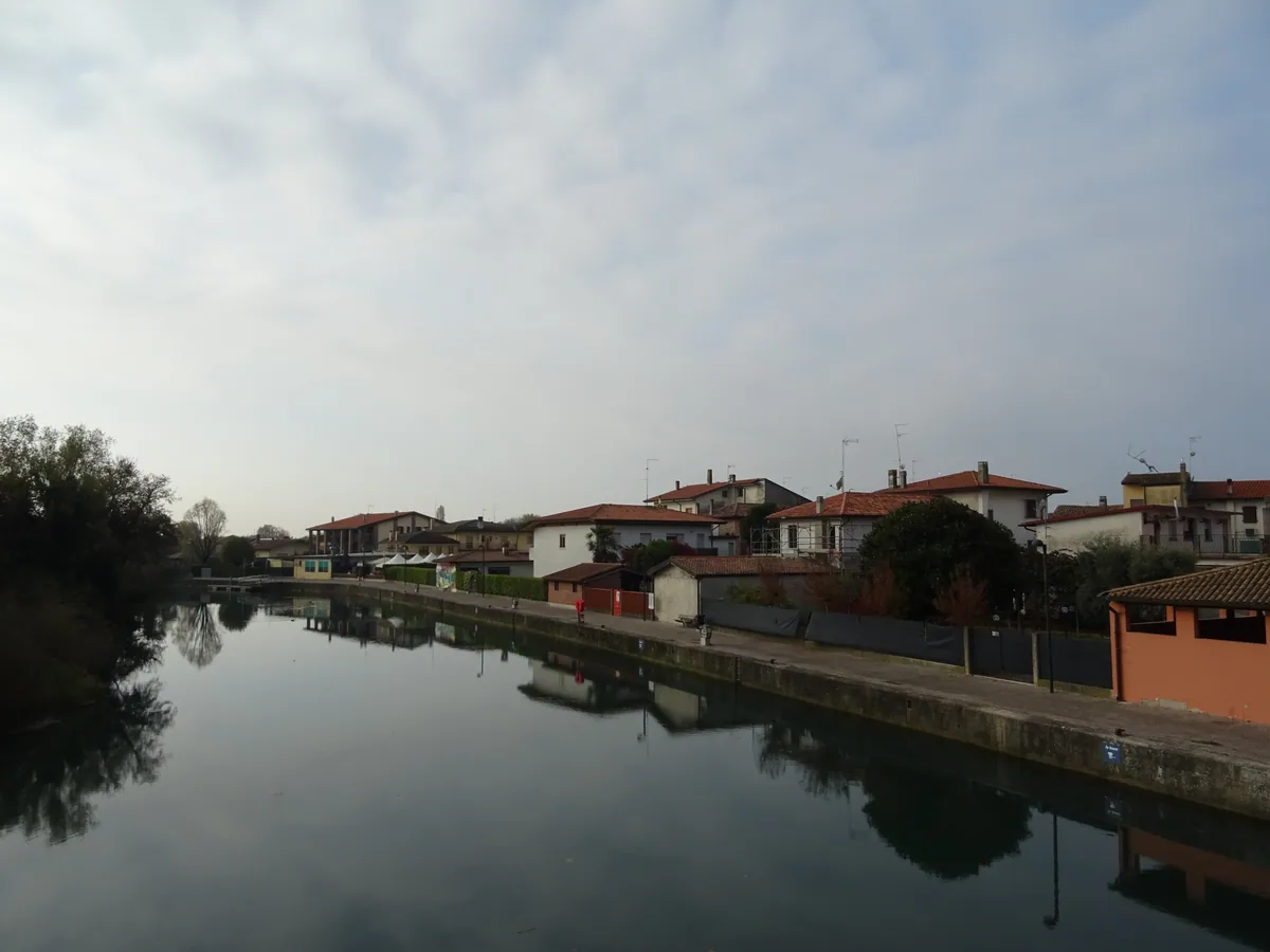
- IT Precenicco
- 616695.jpg / télécharger
- date : 2024-11-18 09:57:43 +01:00
- latitude : 45.789253
- longitude : 13.079551
- altitude : ~ 5 m
- IT Precenicco
- 616696.jpg / télécharger
- date : 2024-11-18 10:16:52 +01:00
- latitude : 45.773655
- longitude : 13.065198
- altitude : ~ 1 m
- IT Precenicco
- 616697.jpg / télécharger
- date : 2024-11-18 10:40:22 +01:00
- latitude : 45.755109
- longitude : 13.074718
- altitude : ~ 1 m
- IT Precenicco
- 616698.jpg / télécharger
- date : 2024-11-18 10:56:55 +01:00
- latitude : 45.734531
- longitude : 13.084728
- altitude : ~ 1 m
- IT Precenicco
- 616699.jpg / télécharger
- date : 2024-11-18 11:03:46 +01:00
- latitude : 45.725458
- longitude : 13.088434
- altitude : ~ 1 m
- IT Precenicco
- 616700.jpg / télécharger
- date : 2024-11-18 11:03:52 +01:00
- latitude : 45.725458
- longitude : 13.088434
- altitude : ~ 1 m
- IT Precenicco
- 616701.jpg / télécharger
- date : 2024-11-18 11:18:53 +01:00
- latitude : 45.718945
- longitude : 13.084421
- altitude : ~ 1 m
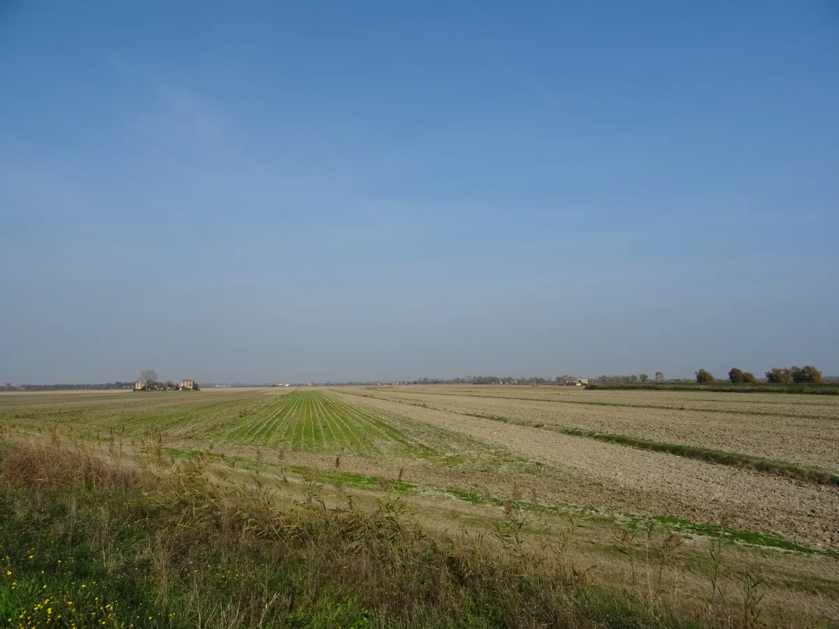
- IT Pertegada
- 616702.jpg / télécharger
- date : 2024-11-18 11:27:18 +01:00
- latitude : 45.714327
- longitude : 13.065383
- altitude : ~ 1 m
- IT Pertegada
- 616703.jpg / télécharger
- date : 2024-11-18 11:32:55 +01:00
- latitude : 45.706370
- longitude : 13.071858
- altitude : ~ 3 m
- IT Pertegada
- 616704.jpg / télécharger
- date : 2024-11-18 11:35:56 +01:00
- latitude : 45.701163
- longitude : 13.073205
- altitude : ~ 5 m
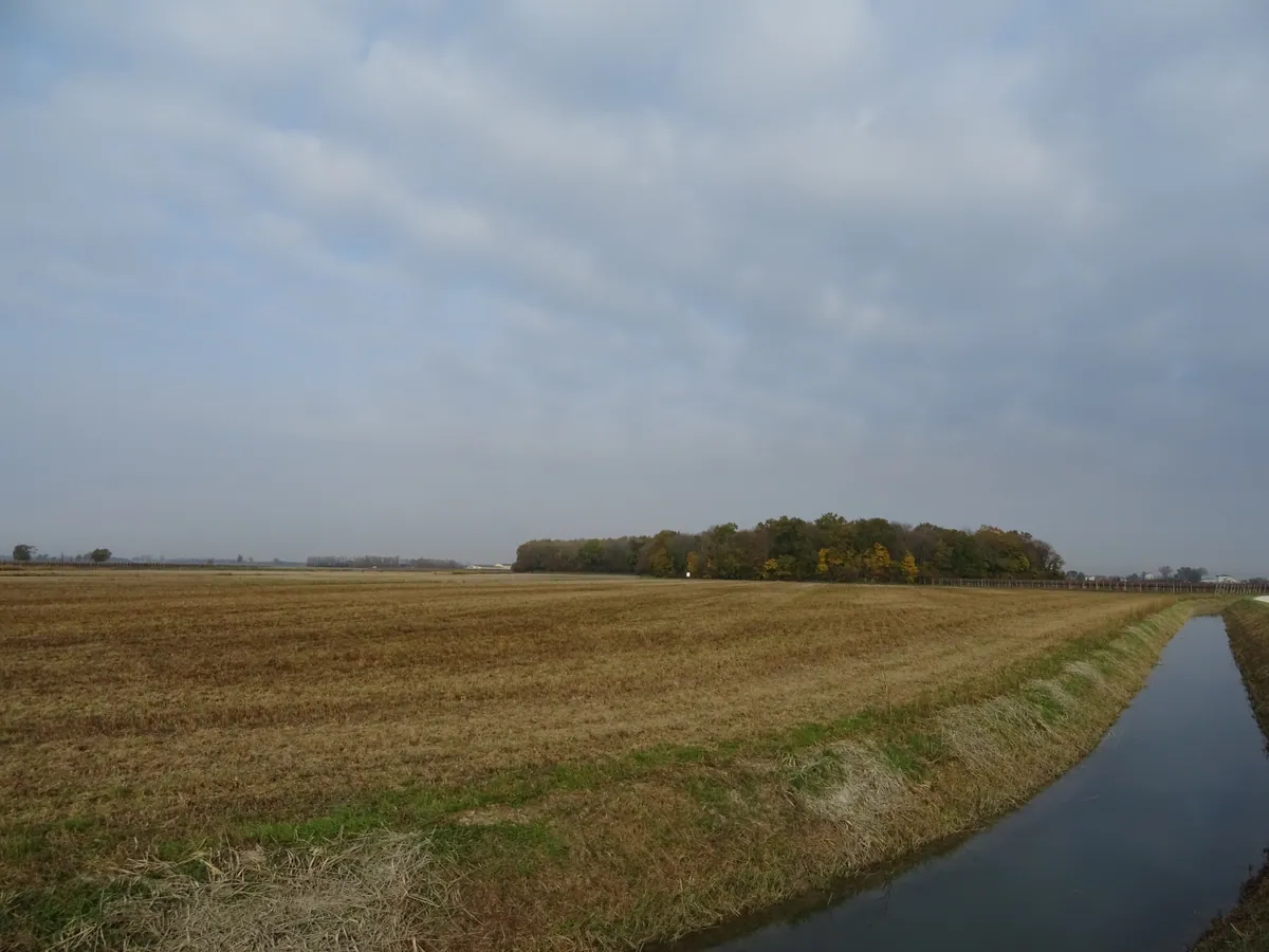
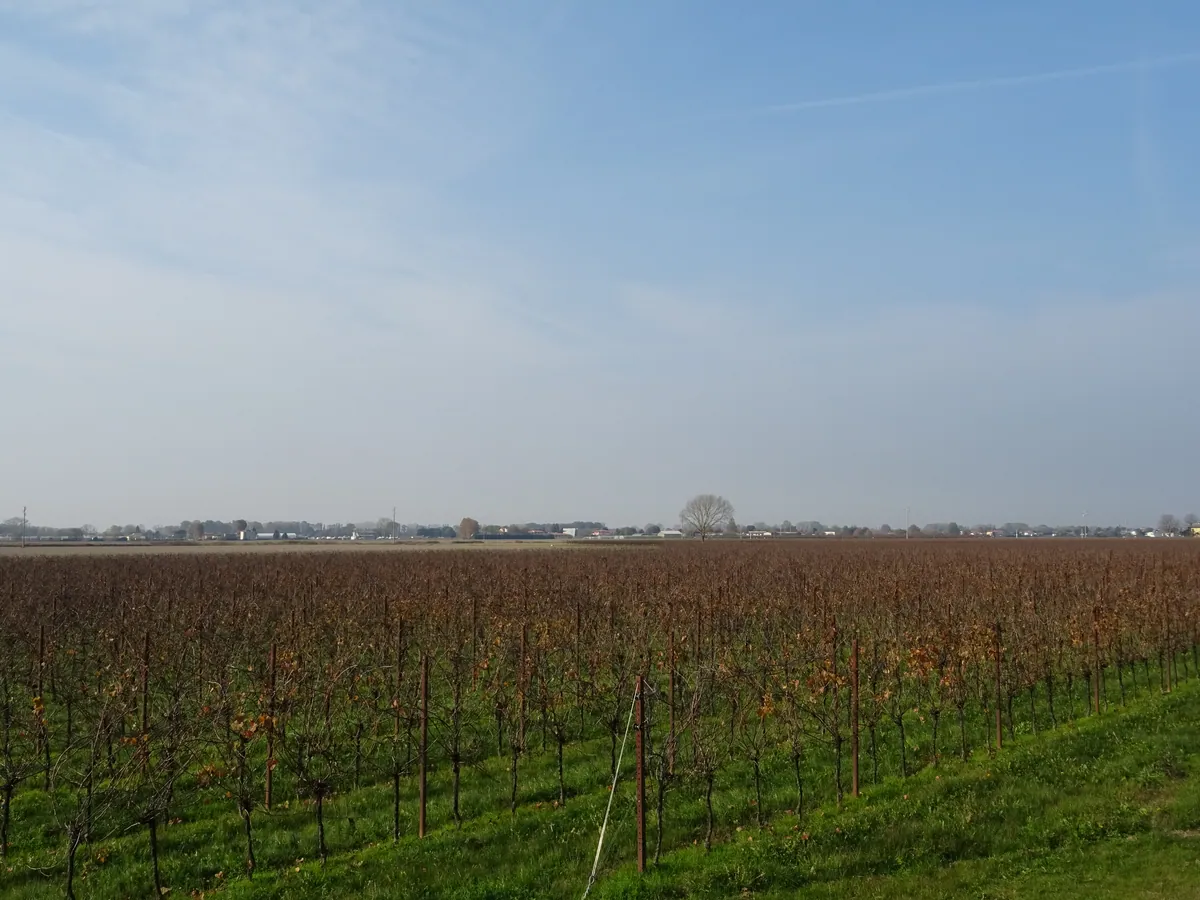
- IT Bevazzana
- 616705.jpg / télécharger
- date : 2024-11-18 12:01:04 +01:00
- latitude : 45.677393
- longitude : 13.082003
- altitude : ~ 3 m
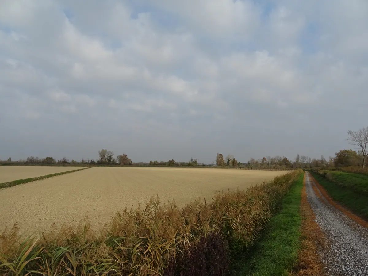
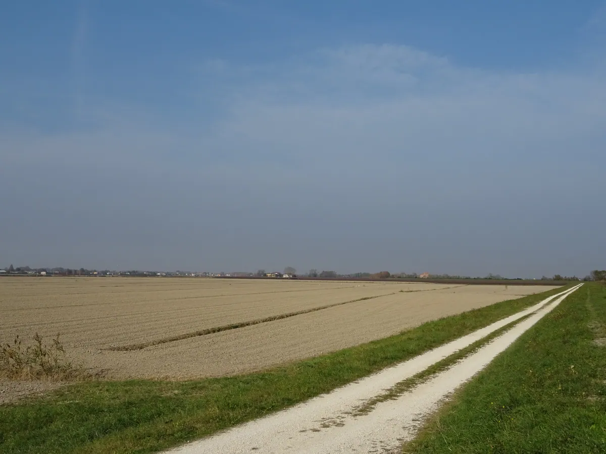
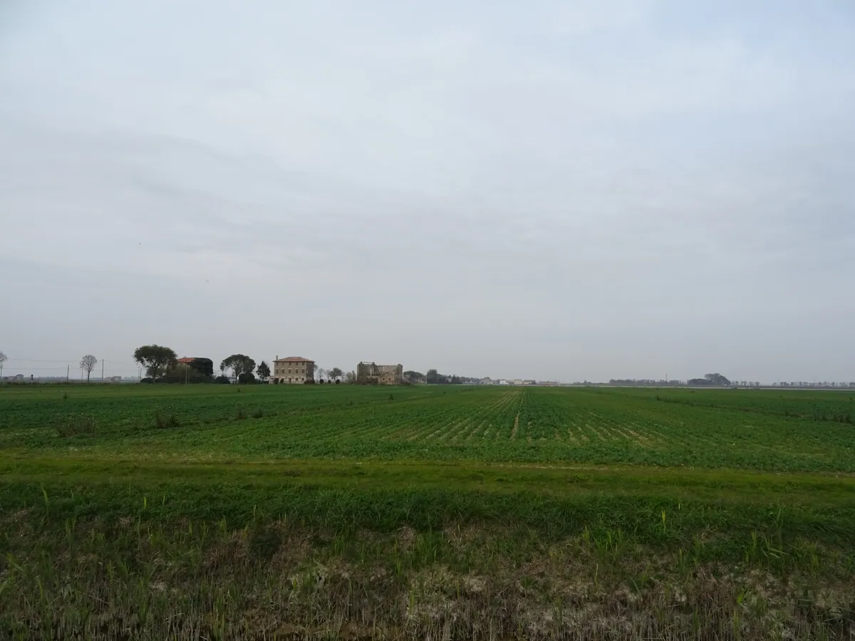
- IT Bevazzana
- 616706.jpg / télécharger
- date : 2024-11-18 12:36:41 +01:00
- latitude : 45.672246
- longitude : 13.070846
- altitude : ~ 1 m
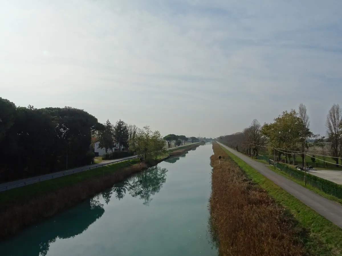
- IT Bevazzana
- 616707.jpg / télécharger
- date : 2024-11-18 13:50:27 +01:00
- latitude : 45.659812
- longitude : 13.050363
- altitude : ~ 10 m
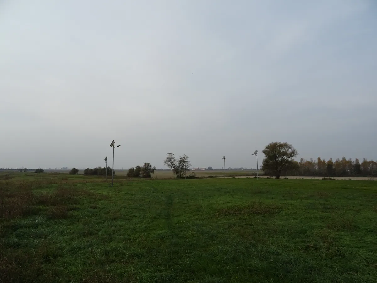
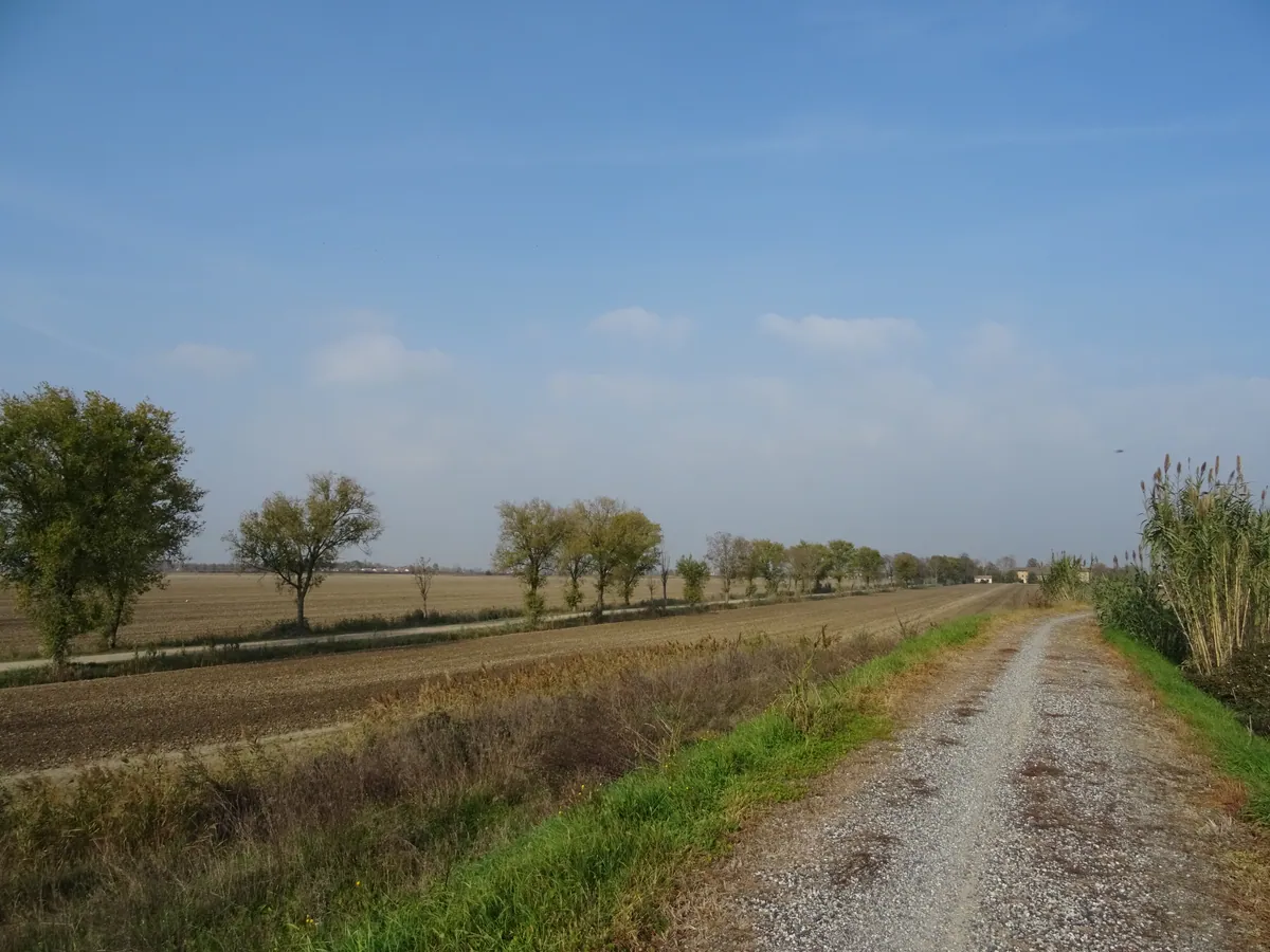
- IT San Michele al Tagliamento
- 616708.jpg / télécharger
- date : 2024-11-18 14:27:40 +01:00
- latitude : 45.648515
- longitude : 13.001810
- altitude : ~ 1 m
- IT San Michele al Tagliamento
- 616710.jpg / télécharger
- date : 2024-11-18 14:50:33 +01:00
- latitude : 45.691339
- longitude : 12.985497
- altitude : ~ 1 m
- IT San Michele al Tagliamento
- 616711.jpg / télécharger
- date : 2024-11-18 14:50:55 +01:00
- latitude : 45.691360
- longitude : 12.985385
- altitude : ~ 1 m
- IT San Michele al Tagliamento
- 616712.jpg / télécharger
- date : 2024-11-18 14:51:17 +01:00
- latitude : 45.691369
- longitude : 12.985298
- altitude : ~ 1 m
- IT San Michele al Tagliamento
- 616713.jpg / télécharger
- date : 2024-11-18 15:06:30 +01:00
- latitude : 45.673091
- longitude : 12.965139
- altitude : ~ 1 m
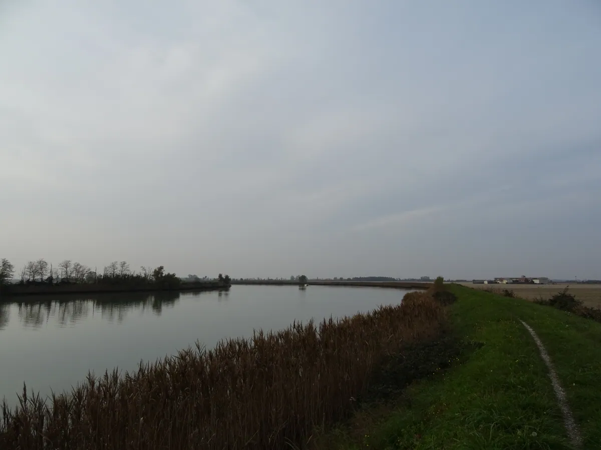
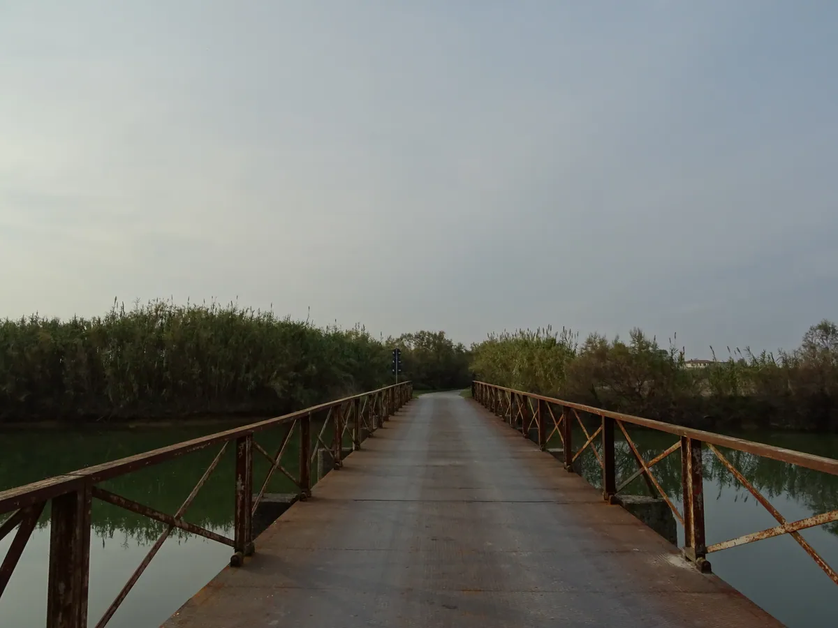
- IT San Michele al Tagliamento
- 616714.jpg / télécharger
- date : 2024-11-18 15:14:34 +01:00
- latitude : 45.680966
- longitude : 12.952185
- altitude : ~ 1 m
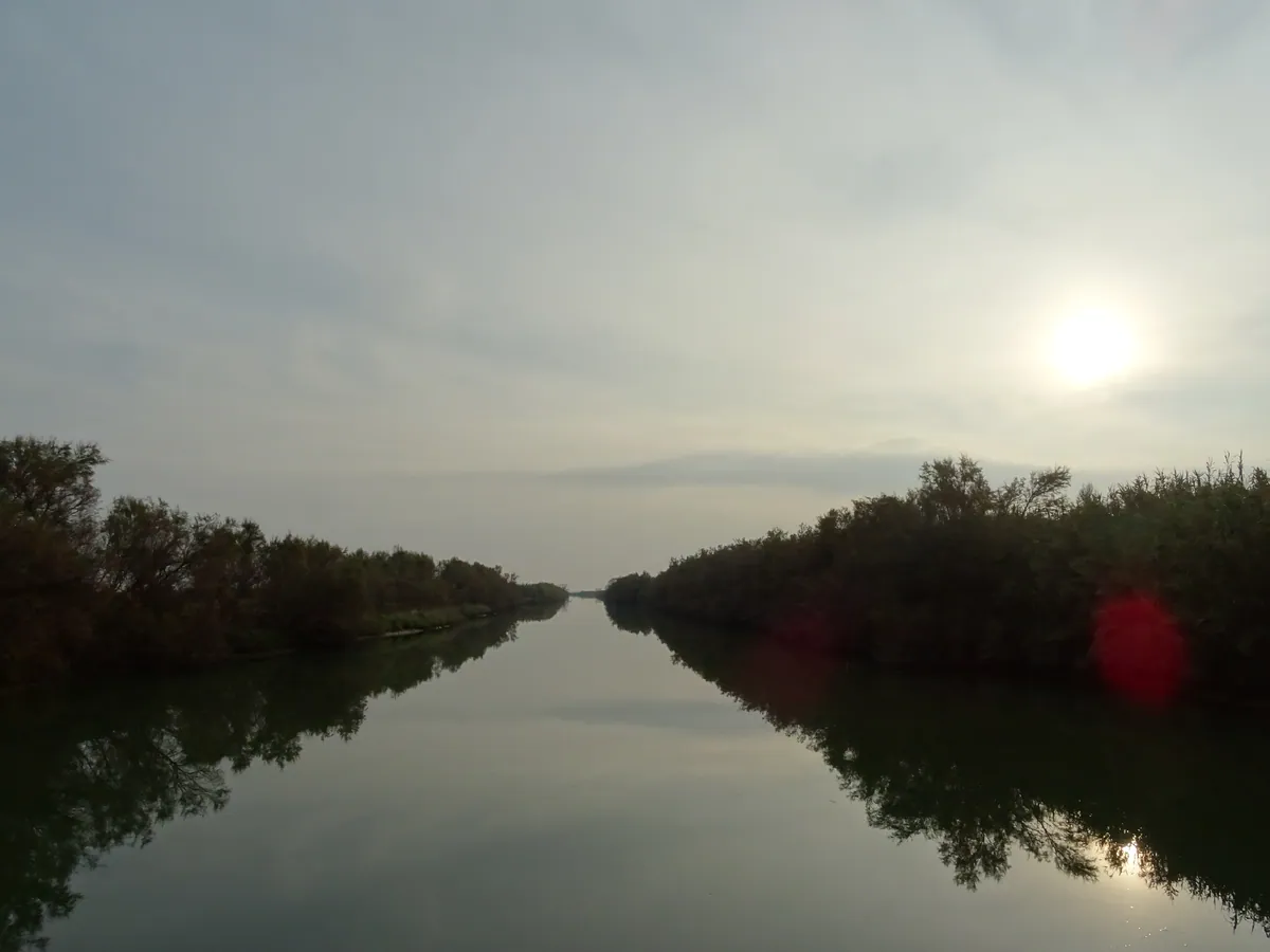
- IT San Michele al Tagliamento
- 616715.jpg / télécharger
- date : 2024-11-18 15:16:59 +01:00
- latitude : 45.683833
- longitude : 12.953278
- altitude : ~ 3 m
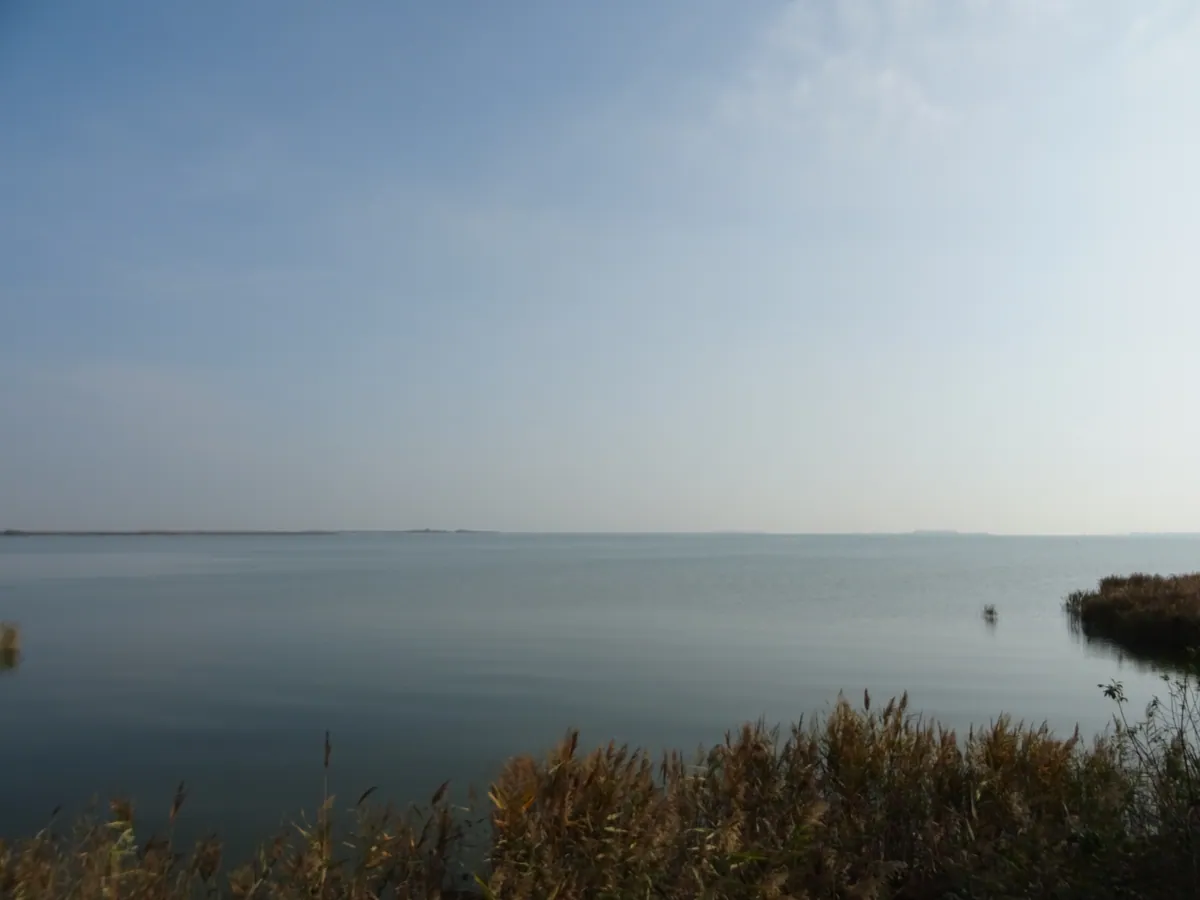
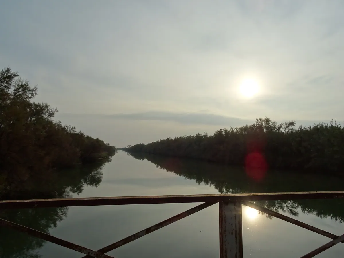
- IT Sindacale
- 616716.jpg / télécharger
- date : 2024-11-18 16:01:44 +01:00
- latitude : 45.698450
- longitude : 12.866948
- altitude : ~ 1 m
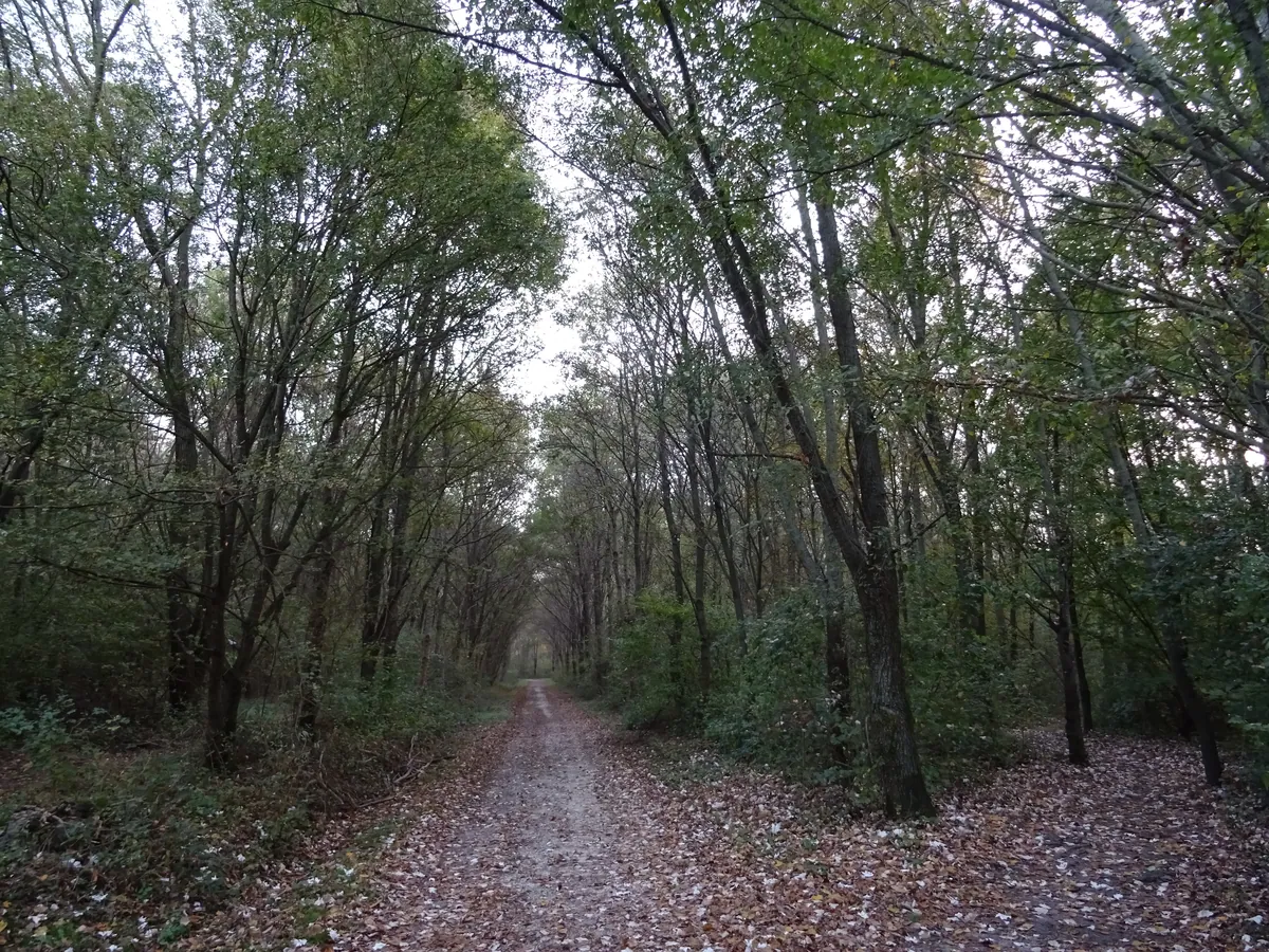
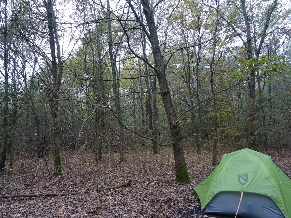
19/11/2024
- IT Sindacale
Bivouac tente- 616717.jpg / télécharger
- date : 2024-11-19 08:13:43 +01:00
- latitude : 45.69679
- longitude : 12.87283
- altitude : ~ 1 m
Toutes les heures sont en heure locale, et malheureusement soit en heure d'été, soit en heure d'hiver. Pour tous les voyages : utc+1 en hiver et utc+2 en été, sauf Finlande/Estonie/Lettonie/Lituanie utc+2/+3.
Blog de voyages à vélo
Les photos et vidéos et podcasts sont sous licence Creative Commons BY-NC-SA 3 (Attribution - Pas d'utilisation commerciale - Partage dans les mêmes conditions).
Exceptions (extrait musical/audio) :
- 2023.7.m4a, © Aden Foyer The Ballet Girl
- 2023.16.m4a, © Voyager Promise, © WarnerBros Matrix 4
- 608562.jpg, © Foto-Webcam.eu
Index des photos : TSV.
Historique des voyages à vélo
- la suite ?
- 2024-2025 / 352 jours ~ 12 mois (14580 € soit 36/j) / bivouac tente
(16 pays, 2 îles)- VTC 28″ VSF T-500, 11-36, pneu marathon plus tour, usb-werk
- TEL Wiko Power U10° et realme C53° (GPS OsmAnd, cartes OSM/OTM)
- APN Sony DSC-HX60V°
- CAM GoPro Hero 10° avec module média
- Drone DJI Mini 3 pro°
- 2023 / 90 jours, 3 mois (8103 € soit 90/j)
🇫🇷 FR 🇨🇭 CH 🇦🇹 AT 🇨🇭 CH 🇮🇹 IT 🇫🇷 FR (4 pays)- VTC 28″ VSF T-500, 11-36, pneu marathon plus tour, usb-werk
- TEL Wiko Power U10° (GPS OsmAnd, cartes OSM/OTM)
- APN Sony DSC-HX60V°
- CAM GoPro Hero 10° avec module média
- Drone DJI Mini 3 pro°
- 2019 / 🇫🇷 FR / 25 jours (2753 € soit 110/j)
- VTT 27,5″ Rockrider 520, 13-32, roue avant XM-319 DH-3D32, usb-werk
- GPS TwoNav Anima (cartes IGN TOP25)
- APN Sony DSC-HX60V°
- 2018 / 🇫🇷 FR / 17 jours (1435 € soit 84/j)
- VTT 26″ Rockrider 5.1 C1 2011, 13-34
- GPS TwoNav Anima (cartes IGN TOP25)
- APN Sony DSC-HX60V°
- 2017 / 🇫🇷 FR / 17 jours (1480 € soit 87/j)
- VTT 26″ Rockrider 5.1 C1 2011, 13-34
- GPS TwoNav Anima (cartes IGN TOP25)
- APN Sony DSC-HX60V°
- 2014 / 🇫🇷 FR / 10 jours (1018 € soit 101/j)
- VTT 26″ Rockrider 5.1 C1 2011, 13-34
- GPS TwoNav Sportiva 2 (cartes IGN TOP25)
- APN Canon PowerShot SX280HS°
- 2013 / 🇫🇷 FR / 15 jours
- VTT 26″ Rockrider 5.1 C1 2011
- GPS TwoNav Sportiva 2 (cartes IGN TOP25)
- APN Canon IXUS 220HS
- 2012 / 🇫🇷 FR / 12 jours / camping tente
- VTT 26″ Rockrider 5.1 C1 2011
- GPS IGN Évadéo M35 (cartes IGN TOP25)
- APN Canon IXUS 220HS
- 2009 / 🇫🇷 FR / 16 jours / camping tente
- VTT 26″
- GPS IGN Évadéo M35 (cartes IGN TOP25)
- APN Canon PowerShot A430
Rendez-vous aussi sur
- VisuGPX / EditGPX (éditeur d'itinéraire un peu bancale)
- SchweizMobil (carte interactive avec itinéraires et photos)
- Foto-Webcam (webcams avec historique - AT-Schröcken 13/08/23)
- Trustroots (hébergement entre voyageurs)
- Nomador (home-sitters... miaou)
- uBlock (pour votre santé)
- trop d'argent ? pas de soucis je m'en occupe
Des histoires d'autres voyageurs
- Perdons les pédales
- La Bliv America
- Voies Recyclables
- ZedZed Bizarre Adventure
- Charles en vélo
- Un petit tour à vélo
- Nartrouv Travel
- flo_madem
- Les Cyclotrotters
- À Vélo A. A. A.
- À coups de pédales
- What The Trip
- Les Colibris nomades
- Cycle Americas
- La Pampa (audio)
- From Cape to Cairo by Bike (film)
- Génération Tour du Monde (film)
- Vanlife les nouveaux nomades (film)
- Ameri-Bike Dream (film)
- Un Tour d'Europe en 11 mois (film)
- Cycling Across Europe Alone (film)
- Lampaul/CapNord à vélo (film)
- Jencyo Rêva
Quelques informations pas très intéressantes
Les communes des photos ont été récupérées avec Google Geocoding puis Nomitim Reverse et les altitudes avec elevation-api.eu (mais par moment c'est très approximatif), le tout à partir de leurs coordonnées GPS. Les tuiles (tiles) des itinéraires ont été générées avec gpx2tiles. Page web réalisée avec tout mon talent en France, mais aussi grâce à Leaflet, Leaflet.RightClickZoom, Leaflet.Fullscreen et Leaflet.GPX.
Les coordonnées des photos de 2009, 2012 et 2013 ont été ajoutées manuellement. Une * indique un positionnement (très) approximatif. Les itinéraires de 2009 et 2012 ont été retracés quelques années après.
Itinéraires préparés avec VisuGPX et SuisseMobile.
Attention, quand EDF passe, le paysage trépasse !
Et Android ? Même Windows XP était mieux !
Loués soient les Oris !
Nous sommes sponsorisés par la région.